
Mexiko
43558 Postleitzahl
PLZ-Details
6 OrtePLZ
Ort
Alcholoya (Colonia del Cerro de Aguatepec)
Region
Hidalgo
Kreis
Acatlán
Koordinaten
20.187, -98.4647
Genauigkeit
4 / 6
Land
Mexiko
Lage
OpenStreetMap ↗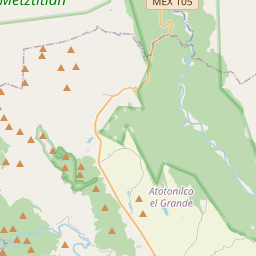
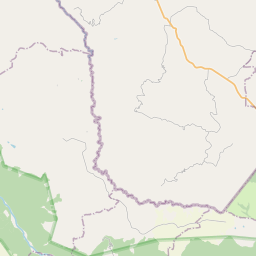
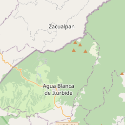
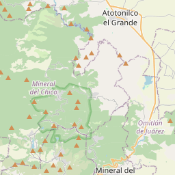
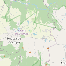
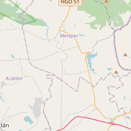
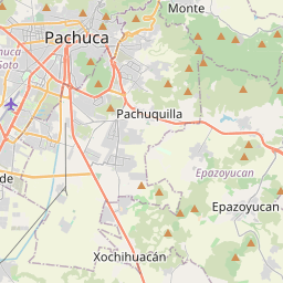
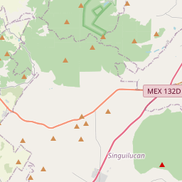
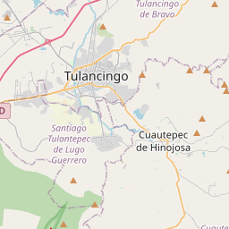
20.187, -98.4647© OpenStreetMap
Orte unter dieser PLZ
6| Ort | Region | Kreis | Koordinaten |
|---|---|---|---|
| Alcholoya (Colonia del Cerro de Aguatepec) | Hidalgo | Acatlán | 20.187, -98.4647 |
| Cerro de Aguatepec | Hidalgo | Acatlán | 20.187, -98.4647 |
| Echeverría | Hidalgo | Acatlán | 20.1553, -98.4676 |
| Ernesto Zedillo | Hidalgo | Acatlán | 20.1612, -98.4587 |
| Los Arcos | Hidalgo | Acatlán | 20.1764, -98.4475 |
| Totoapa el Grande | Hidalgo | Acatlán | 20.1892, -98.4461 |
Gleiche PLZ in anderen Ländern
3FAQ
In welcher Stadt liegt 43558?
Alcholoya (Colonia del Cerro de Aguatepec), Hidalgo, Mexiko.
Welche Koordinaten hat 43558?
20.187, -98.4647
Wird 43558 auch in anderen Ländern verwendet?
Ja, in 3 weiteren Ländern.