
Mexiko
55796 Postleitzahl
PLZ-Details
7 OrtePLZ
Ort
Ex-hacienda Santa Inés
Region
México
Kreis
Nextlalpan
Koordinaten
19.7067, -99.0725
Genauigkeit
4 / 6
Land
Mexiko
Lage
OpenStreetMap ↗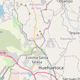
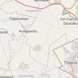


19.7067, -99.0725© OpenStreetMap
Orte unter dieser PLZ
7| Ort | Region | Kreis | Koordinaten |
|---|---|---|---|
| Ex-hacienda Santa Inés | México | Nextlalpan | 19.7067, -99.0725 |
| Los Aguiluchos | México | Nextlalpan | 19.7261, -99.0903 |
| Paseos del Valle | México | Nextlalpan | 19.7123, -99.0791 |
| Pozos y Vías (Fracción Diecisiete A) | México | Nextlalpan | 19.7033, -99.0767 |
| Prados San Francisco | México | Nextlalpan | 19.7215, -99.0837 |
| San Antonio (El Oasis) | México | Nextlalpan | 19.7203, -99.0747 |
| Tierra Santa Inés | México | Nextlalpan | 19.6959, -99.0767 |
Gleiche PLZ in anderen Ländern
2FAQ
In welcher Stadt liegt 55796?
Ex-hacienda Santa Inés, México, Mexiko.
Welche Koordinaten hat 55796?
19.7067, -99.0725
Wird 55796 auch in anderen Ländern verwendet?
Ja, in 2 weiteren Ländern.