
Mexiko
62956 Postleitzahl
PLZ-Details
10 OrtePLZ
Ort
Ahuaxtla
Region
Morelos
Kreis
Axochiapan
Koordinaten
18.4789, -98.7678
Genauigkeit
4 / 6
Land
Mexiko
Lage
OpenStreetMap ↗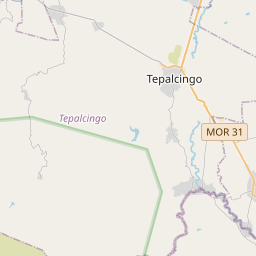
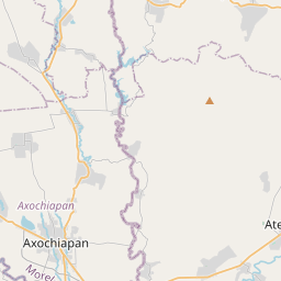
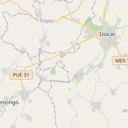
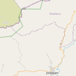
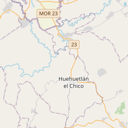
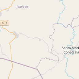
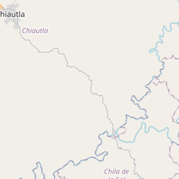
18.4789, -98.7678© OpenStreetMap
Orte unter dieser PLZ
10| Ort | Region | Kreis | Koordinaten |
|---|---|---|---|
| Ahuaxtla | Morelos | Axochiapan | 18.4789, -98.7678 |
| Benito Juárez | Morelos | Axochiapan | 18.4836, -98.7608 |
| Cabrera | Morelos | Axochiapan | 18.4773, -98.7486 |
| El Guamúchil | Morelos | Axochiapan | 18.5252, -98.752 |
| El Papagayo | Morelos | Axochiapan | 18.4886, -98.75 |
| Juan Ortega Sánchez | Morelos | Axochiapan | 18.4908, -98.7589 |
| La Piedra Colorada | Morelos | Axochiapan | 18.4451, -98.7323 |
| Los Laureles | Morelos | Axochiapan | 18.4881, -98.7431 |
| Los Limites | Morelos | Axochiapan | 18.4773, -98.7486 |
| Palo Blanco | Morelos | Axochiapan | 18.4664, -98.7272 |
Gleiche PLZ in anderen Ländern
1| Land | Ort | Region |
|---|---|---|
| US Vereinigte Staaten | Karnak | Illinois |
FAQ
In welcher Stadt liegt 62956?
Ahuaxtla, Morelos, Mexiko.
Welche Koordinaten hat 62956?
18.4789, -98.7678
Wird 62956 auch in anderen Ländern verwendet?
Ja, in 1 weiteren Ländern.
Die Daten sind inoffiziell und gekürzt; bei kritischen Sendungen Adresse und Carrier prüfen. Quelle & Lizenz ansehen → · Aktualisiert am 2026-11-09. Quellenangabe in