
Mexiko
78537 Postleitzahl
PLZ-Details
14 OrtePLZ
Ort
El Blanco
Region
San Luis Potosí
Kreis
Cedral
Koordinaten
23.7377, -100.7432
Genauigkeit
4 / 6
Land
Mexiko
Lage
OpenStreetMap ↗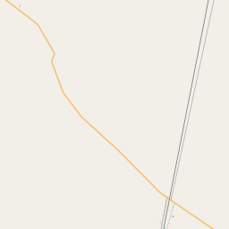

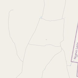


23.7377, -100.7432© OpenStreetMap
Orte unter dieser PLZ
14| Ort | Region | Kreis | Koordinaten |
|---|---|---|---|
| El Blanco | San Luis Potosí | Cedral | 23.7377, -100.7432 |
| El Carmen | San Luis Potosí | Cedral | 23.9304, -100.6737 |
| El Pequeño | San Luis Potosí | Cedral | 23.8333, -100.7625 |
| El Sauz | San Luis Potosí | Cedral | 23.7556, -100.7253 |
| Entronque del Real | San Luis Potosí | Cedral | 23.8433, -100.8161 |
| Fraccionamiento Llanos de San Gabriel | San Luis Potosí | Cedral | 23.8017, -100.705 |
| La Cruz | San Luis Potosí | Cedral | 23.7641, -100.6872 |
| La Perla (Nogalar) | San Luis Potosí | Cedral | 23.786, -100.728 |
| Rancho Santo Domingo | San Luis Potosí | Cedral | 23.8078, -100.7286 |
| Rancho Vallarta | San Luis Potosí | Cedral | 23.7881, -100.7042 |
| Rancho el Cono del Progreso | San Luis Potosí | Cedral | 23.8033, -100.7339 |
| Rancho la Rinconada | San Luis Potosí | Cedral | 23.786, -100.728 |
| Refugio de las Monjas | San Luis Potosí | Cedral | 23.756, -100.7261 |
| Santa Teresa | San Luis Potosí | Cedral | 23.7555, -100.6755 |
Gleiche PLZ in anderen Ländern
1| Land | Ort | Region |
|---|---|---|
| US Vereinigte Staaten | Donna | Texas |
FAQ
In welcher Stadt liegt 78537?
El Blanco, San Luis Potosí, Mexiko.
Welche Koordinaten hat 78537?
23.7377, -100.7432
Wird 78537 auch in anderen Ländern verwendet?
Ja, in 1 weiteren Ländern.
Die Daten sind inoffiziell und gekürzt; bei kritischen Sendungen Adresse und Carrier prüfen. Quelle & Lizenz ansehen → · Aktualisiert am 2026-11-09. Quellenangabe in