
สหราชอาณาจักร
PR5 รหัสไปรษณีย์
รายละเอียดรหัสไปรษณีย์
13 สถานที่รหัส
สถานที่
Bamber Bridge
ภูมิภาค
England
เขต
Lancashire
พิกัด
53.732, -2.6597
ความแม่นยำ
4 / 6
ประเทศ
สหราชอาณาจักร
ตำแหน่ง
OpenStreetMap ↗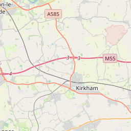
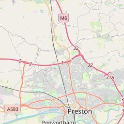
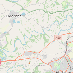


53.732, -2.6597© OpenStreetMap
สถานที่ภายใต้รหัสนี้
13| สถานที่ | ภูมิภาค | เขต | พิกัด |
|---|---|---|---|
| Bamber Bridge | England | Lancashire | 53.732, -2.6597 |
| Bretherton | England | Lancashire | 53.7316, -2.6578 |
| Clayton-le-Woods | England | Lancashire | 53.7127, -2.6389 |
| Croston | England | Lancashire | 53.7316, -2.6578 |
| Farington | England | Lancashire | 53.7316, -2.6578 |
| Higher Walton | England | Lancashire | 53.7118, -2.6818 |
| Hoghton | England | Lancashire | 53.7349, -2.588 |
| Leyland | England | Lancashire | 53.7316, -2.6578 |
| Midge Hall | England | Lancashire | 53.7118, -2.6818 |
| Samlesbury | England | Lancashire | 53.7658, -2.6217 |
| Samlesbury Bottoms | England | Lancashire | 53.7118, -2.6818 |
| Tardy Gate | England | Lancashire | 53.7118, -2.6818 |
| Walton-le-Dale | England | Lancashire | 53.7333, -2.6667 |
รหัสเดียวกันในประเทศอื่น
0รหัสนี้ปรากฏเฉพาะในประเทศนี้เท่านั้น
FAQ
PR5 อยู่ในเมืองใด?
Bamber Bridge, England, สหราชอาณาจักร
พิกัดของ PR5 คืออะไร?
53.732, -2.6597
PR5 ถูกใช้ในประเทศอื่นด้วยหรือไม่?
ไม่