
Frankreich
32400 Postleitzahl
PLZ-Details
24 OrtePLZ
Ort
Aurensan
Region
Occitanie
Kreis
Gers
Koordinaten
43.6182, -0.2042
Genauigkeit
5 / 6
Land
Frankreich
Lage
OpenStreetMap ↗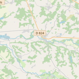
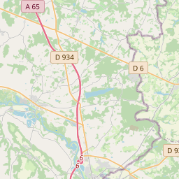
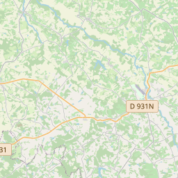
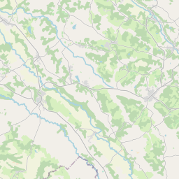


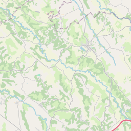
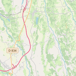
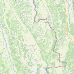
43.6182, -0.2042© OpenStreetMap
Orte unter dieser PLZ
24| Ort | Region | Kreis | Koordinaten |
|---|---|---|---|
| Aurensan | Occitanie | Gers | 43.6182, -0.2042 |
| Bernède | Occitanie | Gers | 43.6699, -0.2212 |
| Cahuzac-sur-Adour | Occitanie | Gers | 43.6333, -0.0167 |
| Cannet | Occitanie | Gers | 43.6118, -0.0635 |
| Caumont | Occitanie | Gers | 43.6914, -0.104 |
| Corneillan | Occitanie | Gers | 43.6565, -0.1799 |
| Fustérouau | Occitanie | Gers | 43.6836, 0.0118 |
| Goux | Occitanie | Gers | 43.614, -0.0222 |
| Izotges | Occitanie | Gers | 43.6522, -0.0121 |
| Labarthète | Occitanie | Gers | 43.6299, -0.1566 |
| Lannux | Occitanie | Gers | 43.6475, -0.2196 |
| Lelin-Lapujolle | Occitanie | Gers | 43.7066, -0.1462 |
| Maulichères | Occitanie | Gers | 43.6889, -0.0901 |
| Maumusson-Laguian | Occitanie | Gers | 43.6094, -0.1015 |
| Projan | Occitanie | Gers | 43.5993, -0.2367 |
| Riscle | Occitanie | Gers | 43.657, -0.0876 |
| Saint-Germé | Occitanie | Gers | 43.6801, -0.1463 |
| Saint-Mont | Occitanie | Gers | 43.6516, -0.1502 |
| Sarragachies | Occitanie | Gers | 43.6832, -0.0544 |
| Ségos | Occitanie | Gers | 43.6256, -0.2571 |
| Tarsac | Occitanie | Gers | 43.6682, -0.1125 |
| Termes-d'Armagnac | Occitanie | Gers | 43.6711, -0.0105 |
| Verlus | Occitanie | Gers | 43.6022, -0.196 |
| Viella | Occitanie | Gers | 43.5987, -0.1391 |
FAQ
In welcher Stadt liegt 32400?
Aurensan, Occitanie, Frankreich.
Welche Koordinaten hat 32400?
43.6182, -0.2042
Wird 32400 auch in anderen Ländern verwendet?
Ja, in 8 weiteren Ländern.
Die Daten sind inoffiziell und gekürzt; bei kritischen Sendungen Adresse und Carrier prüfen. Quelle & Lizenz ansehen → · Aktualisiert am 2026-11-09. Quellenangabe in