
Vereinigtes Königreich
AB43 Postleitzahl
PLZ-Details
44 OrtePLZ
Ort
Bogfold
Region
Scotland
Kreis
Aberdeenshire
Koordinaten
57.657, -2.0448
Genauigkeit
3 / 6
Land
Vereinigtes Königreich
Lage
OpenStreetMap ↗


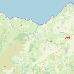
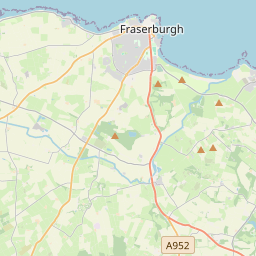
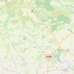
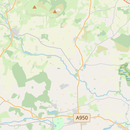
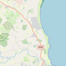
57.657, -2.0448© OpenStreetMap
Orte unter dieser PLZ
44| Ort | Region | Kreis | Koordinaten |
|---|---|---|---|
| Bogfold | Scotland | Aberdeenshire | 57.657, -2.0448 |
| Bracklamore | Scotland | Aberdeenshire | 57.657, -2.0448 |
| Broadsea | Scotland | Aberdeenshire | 57.657, -2.0448 |
| Broomhead | Scotland | Aberdeenshire | 57.657, -2.0448 |
| Cairnbulg | Scotland | Aberdeenshire | 57.657, -2.0448 |
| Cairness | Scotland | Aberdeenshire | 57.6333, -1.9333 |
| Cardno | Scotland | Aberdeenshire | 57.657, -2.0448 |
| Carnichal | Scotland | Aberdeenshire | 57.657, -2.0448 |
| Charlestown | Scotland | Aberdeenshire | 57.657, -2.0448 |
| Coburty | Scotland | Aberdeenshire | 57.657, -2.0448 |
| Coralhill | Scotland | Aberdeenshire | 57.657, -2.0448 |
| Craigculter | Scotland | Aberdeenshire | 57.657, -2.0448 |
| Craigellie | Scotland | Aberdeenshire | 57.657, -2.0448 |
| Craigmaud | Scotland | Aberdeenshire | 57.657, -2.0448 |
| Crimond | Scotland | Aberdeenshire | 57.6014, -1.9157 |
| Crimonmogate | Scotland | Aberdeenshire | 57.657, -2.0448 |
| Dartfield | Scotland | Aberdeenshire | 57.657, -2.0448 |
| Fraserburgh | Scotland | Aberdeenshire | 57.6874, -2.0184 |
| Hillhead of Auchentumb | Scotland | Aberdeenshire | 57.657, -2.0448 |
| Inverallochy | Scotland | Aberdeenshire | 57.6731, -1.9393 |
| Knowhead | Scotland | Aberdeenshire | 57.657, -2.0448 |
| Ladysford | Scotland | Aberdeenshire | 57.657, -2.0448 |
| Lemnas | Scotland | Aberdeenshire | 57.657, -2.0448 |
| Memsie | Scotland | Aberdeenshire | 57.657, -2.0448 |
| Mid Ardlaw | Scotland | Aberdeenshire | 57.657, -2.0448 |
| Nether Glasslaw | Scotland | Aberdeenshire | 57.657, -2.0448 |
| New Aberdour | Scotland | Aberdeenshire | 57.6599, -2.1959 |
| New Pitsligo | Scotland | Aberdeenshire | 57.5902, -2.1954 |
| Newburgh | Scotland | Aberdeenshire | 57.657, -2.0448 |
| Peathill | Scotland | Aberdeenshire | 57.657, -2.0448 |
| Pennan | Scotland | Aberdeenshire | 57.6787, -2.2593 |
| Pitblae | Scotland | Aberdeenshire | 57.657, -2.0448 |
| Rathen | Scotland | Aberdeenshire | 57.6366, -2.0048 |
| Rosehearty | Scotland | Aberdeenshire | 57.697, -2.1132 |
| Sandhaven | Scotland | Aberdeenshire | 57.6972, -2.0634 |
| St Combs | Scotland | Aberdeenshire | 57.65, -1.9 |
| Strichen | Scotland | Aberdeenshire | 57.5866, -2.0906 |
| Towie | Scotland | Aberdeenshire | 57.657, -2.0448 |
| Turclossie | Scotland | Aberdeenshire | 57.657, -2.0448 |
| Upper Boyndlie | Scotland | Aberdeenshire | 57.657, -2.0448 |
| Upper Ridinghill | Scotland | Aberdeenshire | 57.657, -2.0448 |
| Whitebog | Scotland | Aberdeenshire | 57.657, -2.0448 |
| Whitestripe | Scotland | Aberdeenshire | 57.657, -2.0448 |
| Whitewell | Scotland | Aberdeenshire | 57.657, -2.0448 |
Gleiche PLZ in anderen Ländern
0Diese PLZ kommt nur in diesem Land vor.
FAQ
In welcher Stadt liegt AB43?
Bogfold, Scotland, Vereinigtes Königreich.
Welche Koordinaten hat AB43?
57.657, -2.0448
Wird AB43 auch in anderen Ländern verwendet?
Nein.
Die Daten sind inoffiziell und gekürzt; bei kritischen Sendungen Adresse und Carrier prüfen. Quelle & Lizenz ansehen → · Aktualisiert am 2026-11-09. Quellenangabe in