
Vereinigtes Königreich
SY10 Postleitzahl
PLZ-Details
50 OrtePLZ
Ort
Abertridwr
Region
England
Kreis
Shropshire
Koordinaten
52.8394, -3.1236
Genauigkeit
4 / 6
Land
Vereinigtes Königreich
Lage
OpenStreetMap ↗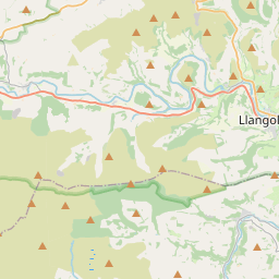
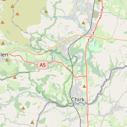
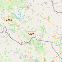
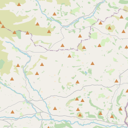
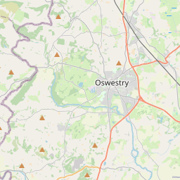
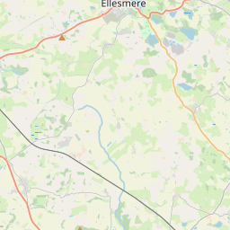
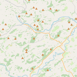
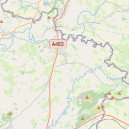
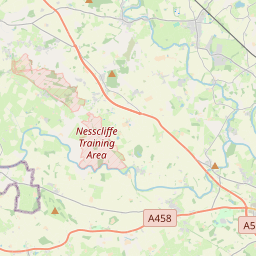
52.8394, -3.1236© OpenStreetMap
Orte unter dieser PLZ
50| Ort | Region | Kreis | Koordinaten |
|---|---|---|---|
| Abertridwr | England | Shropshire | 52.8394, -3.1236 |
| Alltforgan | England | Shropshire | 52.8394, -3.1236 |
| Ball | England | Shropshire | 52.8167, -3.0333 |
| Brogyntyn | England | Shropshire | 52.8394, -3.1236 |
| Bwlch-y-ddar | England | Shropshire | 52.8394, -3.1236 |
| Cedig | England | Shropshire | 52.8394, -3.1236 |
| Cefn-coch | England | Shropshire | 52.8394, -3.1236 |
| Craignant | England | Shropshire | 52.8394, -3.1236 |
| Crickheath | England | Shropshire | 52.8394, -3.1236 |
| Croesau Bach | England | Shropshire | 52.8394, -3.1236 |
| Dovaston | England | Shropshire | 52.8394, -3.1236 |
| Edgerley | England | Shropshire | 52.8394, -3.1236 |
| Gobowen | England | Shropshire | 52.8961, -3.0369 |
| Hengoed | England | Shropshire | 52.8394, -3.1236 |
| Hirnant | Wales | Powys | 52.7955, -3.4095 |
| Kinnerley | England | Shropshire | 52.7839, -2.9855 |
| Knockin | England | Shropshire | 52.7965, -2.9967 |
| Llangedwyn | Wales | Powys | 52.8103, -3.2074 |
| Llangynog | Wales | Powys | 52.8333, -3.4 |
| Llanrhaeadr-ym-Mochnant | Wales | Powys | 52.8251, -3.3022 |
| Llansilin | Wales | Powys | 52.8457, -3.1758 |
| Llanwddyn | Wales | Powys | 52.7597, -3.4581 |
| Llanyblodwel | England | Shropshire | 52.7991, -3.1252 |
| Llawnt | England | Shropshire | 52.8394, -3.1236 |
| Lledrod | England | Shropshire | 52.8394, -3.1236 |
| Llynclys | England | Shropshire | 52.8097, -3.0661 |
| Maesbury Marsh | England | Shropshire | 52.8167, -3.0167 |
| Moelfre | England | Shropshire | 52.8394, -3.1236 |
| Morda | England | Shropshire | 52.8394, -3.1236 |
| Morton | England | Shropshire | 52.8394, -3.1236 |
| Nantmawr | England | Shropshire | 52.8394, -3.1236 |
| Pant | England | Shropshire | 52.7833, -3.0667 |
| Pen-y-bont | Wales | Powys | 52.8167, -3.3667 |
| Pen-y-bont-fawr | Wales | Powys | 52.8167, -3.3667 |
| Pencraig | England | Shropshire | 52.8394, -3.1236 |
| Penisarcwn | England | Shropshire | 52.8394, -3.1236 |
| Pennant Melangell | Wales | Powys | 52.8167, -3.45 |
| Pentre | England | Shropshire | 52.8394, -3.1236 |
| Pentrefelin | England | Shropshire | 52.8394, -3.1236 |
| Penygarnedd | England | Shropshire | 52.8394, -3.1236 |
| Porth-y-waen | England | Shropshire | 52.8394, -3.1236 |
| Preesgweene | England | Shropshire | 52.8394, -3.1236 |
| Rhewl | England | Shropshire | 52.8394, -3.1236 |
| Rhiwargor | England | Shropshire | 52.8394, -3.1236 |
| Rhiwlas | England | Shropshire | 52.8394, -3.1236 |
| Rhydycroesau | England | Shropshire | 52.8676, -3.1203 |
| Selattyn | England | Shropshire | 52.9, -3.0833 |
| Tan-y-pistyll | England | Shropshire | 52.8394, -3.1236 |
| Treflach | England | Shropshire | 52.8394, -3.1236 |
| Trefonen | England | Shropshire | 52.8333, -3.1 |
Gleiche PLZ in anderen Ländern
0Diese PLZ kommt nur in diesem Land vor.
FAQ
In welcher Stadt liegt SY10?
Abertridwr, England, Vereinigtes Königreich.
Welche Koordinaten hat SY10?
52.8394, -3.1236
Wird SY10 auch in anderen Ländern verwendet?
Nein.
Die Daten sind inoffiziell und gekürzt; bei kritischen Sendungen Adresse und Carrier prüfen. Quelle & Lizenz ansehen → · Aktualisiert am 2026-11-09. Quellenangabe in