
Mexiko
38217 Postleitzahl
PLZ-Details
29 OrtePLZ
Ort
Bocatoma
Region
Guanajuato
Kreis
Comonfort
Koordinaten
20.6819, -100.7625
Genauigkeit
4 / 6
Land
Mexiko
Lage
OpenStreetMap ↗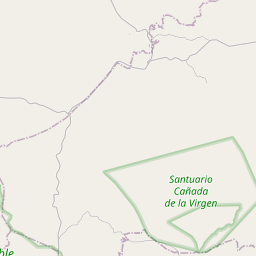
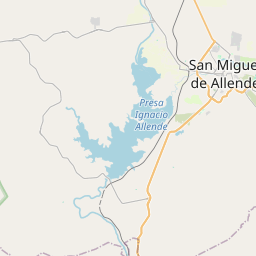
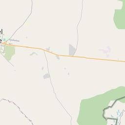
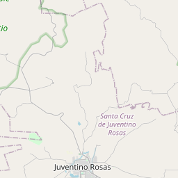
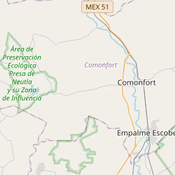
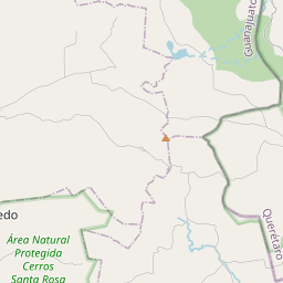

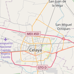
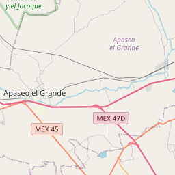
20.6819, -100.7625© OpenStreetMap
Orte unter dieser PLZ
29| Ort | Region | Kreis | Koordinaten |
|---|---|---|---|
| Bocatoma | Guanajuato | Comonfort | 20.6819, -100.7625 |
| Caja de Dolores (Ejido la Palma) | Guanajuato | Comonfort | 20.6973, -100.7701 |
| Caja del Refugio | Guanajuato | Comonfort | 20.6878, -100.7808 |
| Cajitas de Soria | Guanajuato | Comonfort | 20.6669, -100.7686 |
| Camino Real a San Isidro | Guanajuato | Comonfort | 20.7008, -100.7656 |
| Cerrito de Soria | Guanajuato | Comonfort | 20.6973, -100.7701 |
| El Alto (La Última Esperanza) | Guanajuato | Comonfort | 20.6856, -100.7872 |
| El Barrancón | Guanajuato | Comonfort | 20.7058, -100.7636 |
| El Tajo | Guanajuato | Comonfort | 20.705, -100.7664 |
| El Tepetate | Guanajuato | Comonfort | 20.6644, -100.7614 |
| El Vergel | Guanajuato | Comonfort | 20.7413, -100.7912 |
| Establo Sociedad (Ejido la Palma) | Guanajuato | Comonfort | 20.6973, -100.7701 |
| Granja Don Juan | Guanajuato | Comonfort | 20.7194, -100.7658 |
| Granja Santa Amalia Tercera Sección | Guanajuato | Comonfort | 20.7153, -100.7653 |
| Granja los Pastores (Paredes Viejas) | Guanajuato | Comonfort | 20.7114, -100.7642 |
| Hacienda Virela | Guanajuato | Comonfort | 20.6973, -100.7701 |
| La Laguna | Guanajuato | Comonfort | 20.7043, -100.7905 |
| La Mezquitada | Guanajuato | Comonfort | 20.7414, -100.7653 |
| Las Trojas | Guanajuato | Comonfort | 20.7111, -100.7808 |
| Los Mésicos (Camino Real) | Guanajuato | Comonfort | 20.6973, -100.7701 |
| Madre Vieja (Los Martínez) | Guanajuato | Comonfort | 20.6725, -100.7747 |
| María de Jesús Arana (El Monte) | Guanajuato | Comonfort | 20.6547, -100.7686 |
| Mateo Irineo Calvario | Guanajuato | Comonfort | 20.6973, -100.7701 |
| Pedro Cruz Bailón (El Sauz) | Guanajuato | Comonfort | 20.6578, -100.76 |
| Ranchito de Soria (José Rubio Vázquez) | Guanajuato | Comonfort | 20.6973, -100.7701 |
| San Andrés (Segunda Fracción de Virela) | Guanajuato | Comonfort | 20.7281, -100.77 |
| San Isidro (La Loma) | Guanajuato | Comonfort | 20.7022, -100.7756 |
| Virela | Guanajuato | Comonfort | 20.7336, -100.7653 |
| Álvaro Obregón | Guanajuato | Comonfort | 20.6922, -100.7697 |
Gleiche PLZ in anderen Ländern
3FAQ
In welcher Stadt liegt 38217?
Bocatoma, Guanajuato, Mexiko.
Welche Koordinaten hat 38217?
20.6819, -100.7625
Wird 38217 auch in anderen Ländern verwendet?
Ja, in 3 weiteren Ländern.
Die Daten sind inoffiziell und gekürzt; bei kritischen Sendungen Adresse und Carrier prüfen. Quelle & Lizenz ansehen → · Aktualisiert am 2026-11-09. Quellenangabe in