
Mexiko
42070 Postleitzahl
PLZ-Details
12 OrtePLZ
Ort
Buenos Aires
Region
Hidalgo
Kreis
Pachuca de Soto
Koordinaten
20.1021, -98.7823
Genauigkeit
3 / 6
Land
Mexiko
Lage
OpenStreetMap ↗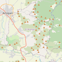
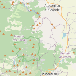
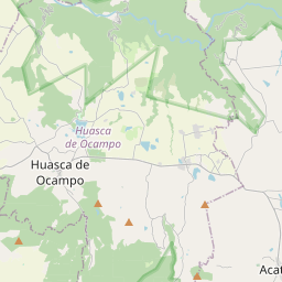
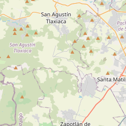
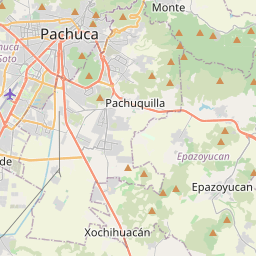
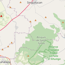
20.1021, -98.7823© OpenStreetMap
Orte unter dieser PLZ
12| Ort | Region | Kreis | Koordinaten |
|---|---|---|---|
| Buenos Aires | Hidalgo | Pachuca de Soto | 20.1021, -98.7823 |
| Francisco I Madero | Hidalgo | Pachuca de Soto | 20.11, -98.7232 |
| Jorge Rojo Lugo | Hidalgo | Pachuca de Soto | 20.0828, -98.7417 |
| La Cabañita | Hidalgo | Pachuca de Soto | 20.11, -98.7232 |
| Lomas de Buenos Aires | Hidalgo | Pachuca de Soto | 20.11, -98.7232 |
| Maribel | Hidalgo | Pachuca de Soto | 20.11, -98.7232 |
| Nueva Francisco I Madero | Hidalgo | Pachuca de Soto | 20.11, -98.7232 |
| Pirules | Hidalgo | Pachuca de Soto | 20.1181, -98.7201 |
| Privada de las Cruces | Hidalgo | Pachuca de Soto | 20.11, -98.7232 |
| Rincón del Real | Hidalgo | Pachuca de Soto | 20.1109, -98.7212 |
| Río de la Soledad | Hidalgo | Pachuca de Soto | 20.115, -98.7119 |
| San Antonio Buenos Aires | Hidalgo | Pachuca de Soto | 20.123, -98.721 |
Gleiche PLZ in anderen Ländern
5FAQ
In welcher Stadt liegt 42070?
Buenos Aires, Hidalgo, Mexiko.
Welche Koordinaten hat 42070?
20.1021, -98.7823
Wird 42070 auch in anderen Ländern verwendet?
Ja, in 5 weiteren Ländern.
Die Daten sind inoffiziell und gekürzt; bei kritischen Sendungen Adresse und Carrier prüfen. Quelle & Lizenz ansehen → · Aktualisiert am 2026-11-09. Quellenangabe in