
Mexiko
43774 Postleitzahl
PLZ-Details
10 OrtePLZ
Ort
Arboledas de Santiago
Region
Hidalgo
Kreis
Santiago Tulantepec de Lugo Guerrero
Koordinaten
20.0662, -98.407
Genauigkeit
3 / 6
Land
Mexiko
Lage
OpenStreetMap ↗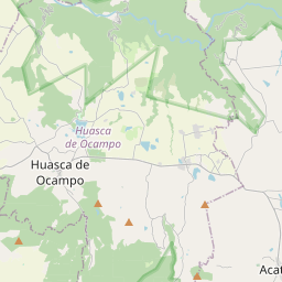
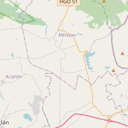
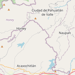
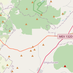
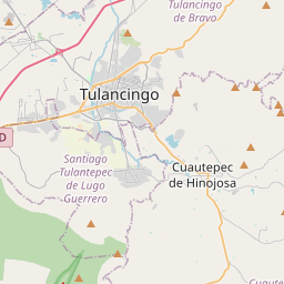
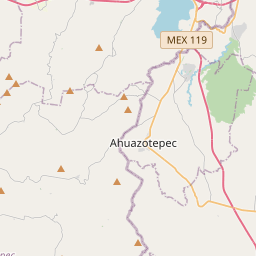
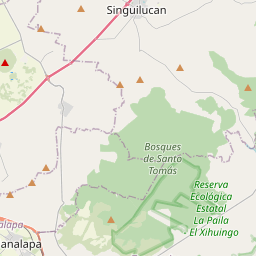
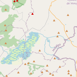
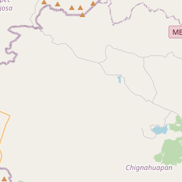
20.0662, -98.407© OpenStreetMap
Orte unter dieser PLZ
10| Ort | Region | Kreis | Koordinaten |
|---|---|---|---|
| Arboledas de Santiago | Hidalgo | Santiago Tulantepec de Lugo Guerrero | 20.0662, -98.407 |
| Bosques de San Francisco | Hidalgo | Santiago Tulantepec de Lugo Guerrero | 20.0662, -98.407 |
| Bosques de Santiago | Hidalgo | Santiago Tulantepec de Lugo Guerrero | 20.0662, -98.407 |
| Dina Habitacional | Hidalgo | Santiago Tulantepec de Lugo Guerrero | 20.0357, -98.3928 |
| Ex-Hacienda de San Francisco | Hidalgo | Santiago Tulantepec de Lugo Guerrero | 20.0662, -98.407 |
| Francisco Villa | Hidalgo | Santiago Tulantepec de Lugo Guerrero | 20.0357, -98.3928 |
| Luis Donaldo Colosio | Hidalgo | Santiago Tulantepec de Lugo Guerrero | 20.0357, -98.3928 |
| Magisterial San José | Hidalgo | Santiago Tulantepec de Lugo Guerrero | 20.0662, -98.407 |
| Paxtepec la Villita | Hidalgo | Santiago Tulantepec de Lugo Guerrero | 20.0662, -98.407 |
| Pedregal de San José | Hidalgo | Santiago Tulantepec de Lugo Guerrero | 20.0662, -98.407 |
Gleiche PLZ in anderen Ländern
1| Land | Ort | Region |
|---|---|---|
| ES Spanien | La Torre De Fontaubella | Cataluna |
FAQ
In welcher Stadt liegt 43774?
Arboledas de Santiago, Hidalgo, Mexiko.
Welche Koordinaten hat 43774?
20.0662, -98.407
Wird 43774 auch in anderen Ländern verwendet?
Ja, in 1 weiteren Ländern.
Die Daten sind inoffiziell und gekürzt; bei kritischen Sendungen Adresse und Carrier prüfen. Quelle & Lizenz ansehen → · Aktualisiert am 2026-11-09. Quellenangabe in