
Mexiko
79775 Postleitzahl
PLZ-Details
38 OrtePLZ
Ort
Alborada Primera
Region
San Luis Potosí
Kreis
Aquismón
Koordinaten
21.75, -99.0409
Genauigkeit
3 / 6
Land
Mexiko
Lage
OpenStreetMap ↗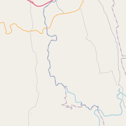
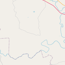
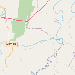
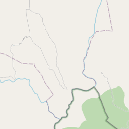
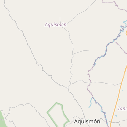
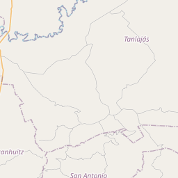
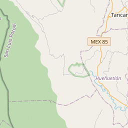
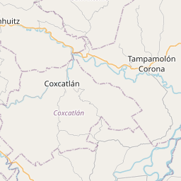
21.75, -99.0409© OpenStreetMap
Orte unter dieser PLZ
38| Ort | Region | Kreis | Koordinaten |
|---|---|---|---|
| Alborada Primera | San Luis Potosí | Aquismón | 21.75, -99.0409 |
| Arroyo Grande (El Puente) | San Luis Potosí | Aquismón | 21.7328, -99.0453 |
| Carlos Mayorga | San Luis Potosí | Aquismón | 21.75, -99.0409 |
| El Bosque | San Luis Potosí | Aquismón | 21.7238, -99.112 |
| El Centavo | San Luis Potosí | Aquismón | 21.75, -99.0409 |
| El Chilaf | San Luis Potosí | Aquismón | 21.7042, -99.0481 |
| El Coyol | San Luis Potosí | Aquismón | 21.7238, -99.112 |
| El Limón | San Luis Potosí | Aquismón | 21.7238, -99.112 |
| El Maguey | San Luis Potosí | Aquismón | 21.7238, -99.112 |
| El Pastor | San Luis Potosí | Aquismón | 21.7964, -99.01 |
| El Progreso | San Luis Potosí | Aquismón | 21.6331, -99.0867 |
| El Rosario | San Luis Potosí | Aquismón | 21.7147, -99.0403 |
| El Sacrificio | San Luis Potosí | Aquismón | 21.7575, -99.0622 |
| El Volantín | San Luis Potosí | Aquismón | 21.7266, -99.0387 |
| La Garita Tambaque | San Luis Potosí | Aquismón | 21.6811, -99.0414 |
| La Ilusión | San Luis Potosí | Aquismón | 21.9178, -99.2006 |
| La Laguna | San Luis Potosí | Aquismón | 21.7357, -99.0069 |
| Los Ciruelos | San Luis Potosí | Aquismón | 21.7459, -99.0273 |
| Marcos Luis Santiago (Santa Anita) | San Luis Potosí | Aquismón | 21.7156, -99.0058 |
| NCPE Santa Anita | San Luis Potosí | Aquismón | 21.7597, -98.9758 |
| Pedro Castillo Sánchez (El Volantín) | San Luis Potosí | Aquismón | 21.7408, -99.0317 |
| Rancho Nuevo | San Luis Potosí | Aquismón | 21.6983, -99.0371 |
| Rancho Nuevo Tamalte | San Luis Potosí | Aquismón | 21.7486, -98.9728 |
| Rancho San Jorge | San Luis Potosí | Aquismón | 21.8911, -99.1547 |
| Rancho el Plan de Limón | San Luis Potosí | Aquismón | 21.75, -99.0409 |
| Rancho las Flores | San Luis Potosí | Aquismón | 21.7238, -99.112 |
| Roberto Morales | San Luis Potosí | Aquismón | 21.7936, -99.0303 |
| Salsipuedes | San Luis Potosí | Aquismón | 21.7367, -98.9767 |
| San Francisco de Asís | San Luis Potosí | Aquismón | 21.7238, -99.112 |
| San Pablo | San Luis Potosí | Aquismón | 21.745, -99.0436 |
| San Pedro de las Anonas | San Luis Potosí | Aquismón | 21.7513, -99.0574 |
| Santa Anita | San Luis Potosí | Aquismón | 21.7153, -99.0192 |
| Santa Cruz | San Luis Potosí | Aquismón | 21.7025, -99.0419 |
| Santa Elena | San Luis Potosí | Aquismón | 21.7469, -98.9921 |
| Tamalte | San Luis Potosí | Aquismón | 21.7486, -98.9728 |
| Tambaque | San Luis Potosí | Aquismón | 21.6811, -99.0414 |
| Tampemoche | San Luis Potosí | Aquismón | 21.6894, -99.0817 |
| Zanja Prieta (Los Támez) | San Luis Potosí | Aquismón | 21.7831, -99.0314 |
Gleiche PLZ in anderen Ländern
0Diese PLZ kommt nur in diesem Land vor.
FAQ
In welcher Stadt liegt 79775?
Alborada Primera, San Luis Potosí, Mexiko.
Welche Koordinaten hat 79775?
21.75, -99.0409
Wird 79775 auch in anderen Ländern verwendet?
Nein.
Die Daten sind inoffiziell und gekürzt; bei kritischen Sendungen Adresse und Carrier prüfen. Quelle & Lizenz ansehen → · Aktualisiert am 2026-11-09. Quellenangabe in