
Polen
18-100 Postleitzahl
PLZ-Details
20 OrtePLZ
Ort
Bokiny
Region
Podlasie
Kreis
Powiat białostocki
Koordinaten
53.0448, 22.918
Genauigkeit
6 / 6
Land
Polen
Lage
OpenStreetMap ↗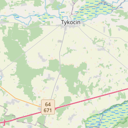
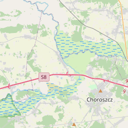
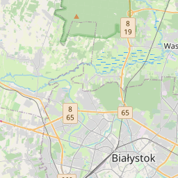
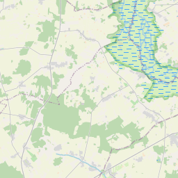
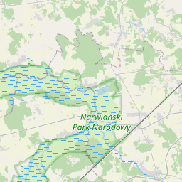
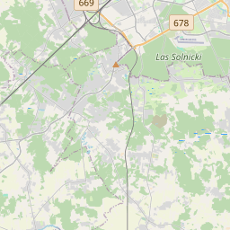
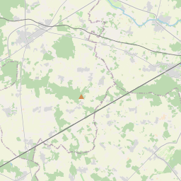
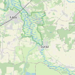
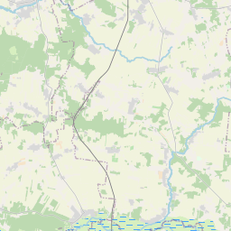
53.0448, 22.918© OpenStreetMap
Orte unter dieser PLZ
20| Ort | Region | Kreis | Koordinaten |
|---|---|---|---|
| Bokiny | Podlasie | Powiat białostocki | 53.0448, 22.918 |
| Gąsówka-Osse | Podlasie | Powiat białostocki | 52.9758, 22.828 |
| Gąsówka-Skwarki | Podlasie | Powiat białostocki | 52.9823, 22.8021 |
| Gąsówka-Somachy | Podlasie | Powiat białostocki | 52.9891, 22.7756 |
| Płonka Kościelna | Podlasie | Powiat białostocki | 52.9985, 22.8291 |
| Płonka-Kozły | Podlasie | Powiat białostocki | 53.0104, 22.8201 |
| Płonka-Matyski | Podlasie | Powiat białostocki | 52.9979, 22.7985 |
| Płonka-Strumianka | Podlasie | Powiat białostocki | 53.0044, 22.836 |
| Roszki-Wodźki | Podlasie | Powiat białostocki | 53.0167, 22.7857 |
| Roszki-Włodki | Podlasie | Powiat białostocki | 53.0103, 22.7953 |
| Uhowo | Podlasie | Powiat białostocki | 53.0033, 22.9124 |
| Wólka Waniewska | Podlasie | Powiat białostocki | 53.0562, 22.8873 |
| Łapy | Podlasie | Powiat białostocki | 52.9898, 22.8782 |
| Łapy-Dębowina | Podlasie | Powiat białostocki | 52.9729, 22.8974 |
| Łapy-Kołpaki | Podlasie | Powiat białostocki | 52.9712, 22.8616 |
| Łapy-Pluśniaki | Podlasie | Powiat białostocki | 52.9626, 22.8955 |
| Łapy-Szołajdy | Podlasie | Powiat białostocki | 52.9787, 22.9029 |
| Łapy-Łynki | Podlasie | Powiat białostocki | 52.9753, 22.8606 |
| Łupianka Nowa | Podlasie | Powiat białostocki | 53.0262, 22.8137 |
| Łupianka Stara | Podlasie | Powiat białostocki | 53.0369, 22.8483 |
FAQ
In welcher Stadt liegt 18-100?
Bokiny, Podlasie, Polen.
Welche Koordinaten hat 18-100?
53.0448, 22.918
Wird 18-100 auch in anderen Ländern verwendet?
Ja, in 7 weiteren Ländern.
Die Daten sind inoffiziell und gekürzt; bei kritischen Sendungen Adresse und Carrier prüfen. Quelle & Lizenz ansehen → · Aktualisiert am 2026-11-09. Quellenangabe in