
Poland
36-245 post code
Post code details
12 placesCode
Place
Dół
Region
Subcarpathia
County
Powiat brzozowski
Coordinates
49.7544, 22.2166
Accuracy
6 / 6
Country
Poland
Location
OpenStreetMap ↗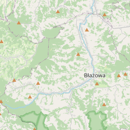
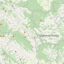
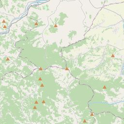
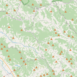
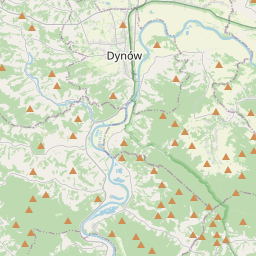
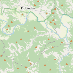
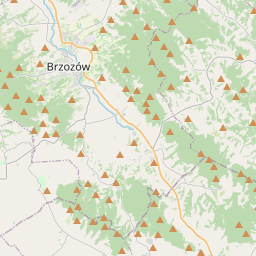
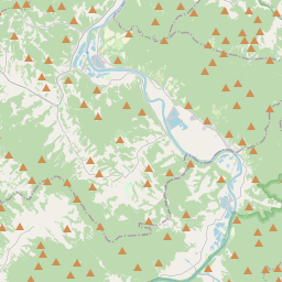
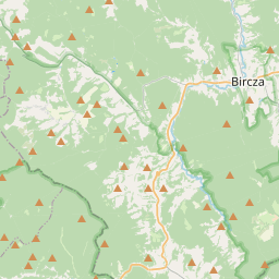
49.7544, 22.2166© OpenStreetMap
Places under this code
12| Place | Region | County | Coordinates |
|---|---|---|---|
| Dół | Subcarpathia | Powiat brzozowski | 49.7544, 22.2166 |
| Dżyłówka | Subcarpathia | Powiat brzozowski | 49.7559, 22.1969 |
| Herb | Subcarpathia | Powiat brzozowski | 49.7542, 22.1969 |
| Huta Poręby | Subcarpathia | Powiat brzozowski | 49.7354, 22.2742 |
| Hłudno | Subcarpathia | Powiat brzozowski | 49.7786, 22.1386 |
| Nozdrzec | Subcarpathia | Powiat brzozowski | 49.7736, 22.2012 |
| Podchełm | Subcarpathia | Powiat brzozowski | 49.785, 22.123 |
| Siedliska | Subcarpathia | Powiat brzozowski | 49.7578, 22.2378 |
| Tarnki | Subcarpathia | Powiat brzozowski | 49.7749, 22.1559 |
| Wara | Subcarpathia | Powiat brzozowski | 49.7564, 22.1936 |
| Wołodź | Subcarpathia | Powiat brzozowski | 49.738, 22.2133 |
| Łucówka | Subcarpathia | Powiat brzozowski | 49.7546, 22.1921 |
Same code in other countries
2| Country | Place | Region |
|---|---|---|
| KR South Korea | 상운면 | 경상북도 |
| MX Mexico | Calera de los Ruiz | Guanajuato |
FAQ
Which city is 36-245 in?
Dół, Subcarpathia, Poland.
What are the coordinates of 36-245?
49.7544, 22.2166
Is 36-245 used in other countries?
Yes, 2 other countries.
The data is unofficial and has known truncation; verify with the recipient and carrier for critical shipments. See data source & license → · Updated 2026-11-09. Attribution in