
Reino Unido
BT60 código postal
Detalles del código postal
9 lugaresCódigo
Lugar
Armagh
Región
Northern Ireland
Condado
County Armagh
Coordenadas
54.35, -6.6667
Precisión
4 / 6
País
Reino Unido
Ubicación
OpenStreetMap ↗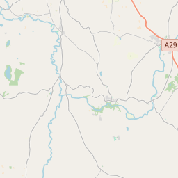
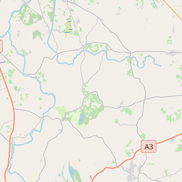
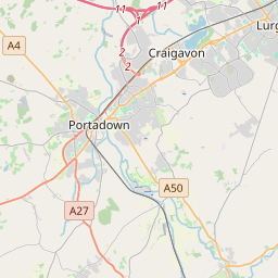
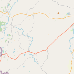
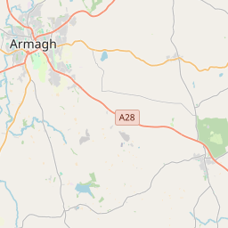
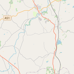
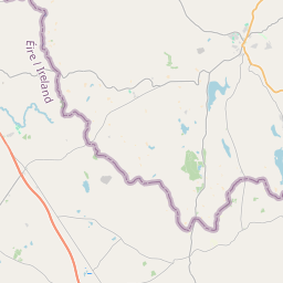
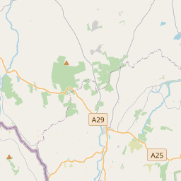
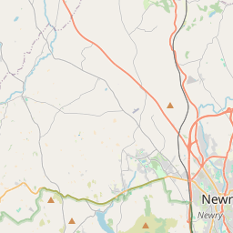
54.35, -6.6667© OpenStreetMap
Lugares con este código
9| Lugar | Región | Condado | Coordenadas |
|---|---|---|---|
| Armagh | Northern Ireland | County Armagh | 54.35, -6.6667 |
| Belcoo | Northern Ireland | County Armagh | 54.2777, -6.6563 |
| Darkley | Northern Ireland | County Armagh | 54.2167, -6.6833 |
| Keady | Northern Ireland | County Armagh | 54.25, -6.7 |
| Killylea | Northern Ireland | County Armagh | 54.35, -6.7833 |
| Kingsmills | Northern Ireland | County Armagh | 54.2996, -6.9149 |
| Markethill | Northern Ireland | County Armagh | 54.2996, -6.9149 |
| Middletown | Northern Ireland | County Armagh | 54.3, -6.8667 |
| Tynan | Northern Ireland | County Armagh | 54.3333, -6.8333 |
Mismo código en otros países
0Este código solo aparece en este país.
FAQ
¿En qué ciudad está BT60?
Armagh, Northern Ireland, Reino Unido.
¿Cuáles son las coordenadas de BT60?
54.35, -6.6667
¿Se usa BT60 en otros países?
No.
Los datos no son oficiales y presentan truncamientos conocidos; verifica con el destinatario y el transportista en los envíos críticos. Ver la fuente y la licencia de los datos → · Actualizado el 2026-11-09. Atribución en