
Reino Unido
HG4 código postal
Detalles del código postal
47 lugaresCódigo
Lugar
Aldburgh
Región
England
Condado
North Yorkshire
Coordenadas
54.1627, -1.6253
Precisión
3 / 6
País
Reino Unido
Ubicación
OpenStreetMap ↗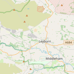
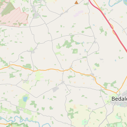
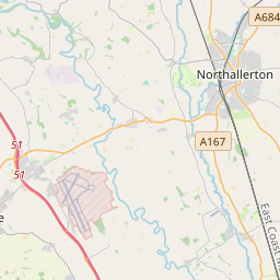
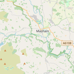
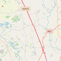

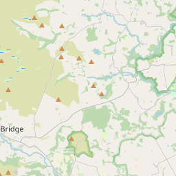
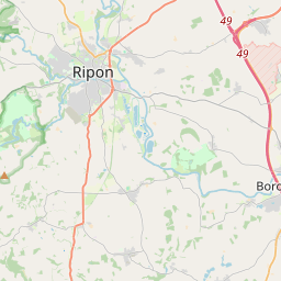
54.1627, -1.6253© OpenStreetMap
Lugares con este código
47| Lugar | Región | Condado | Coordenadas |
|---|---|---|---|
| Aldburgh | England | North Yorkshire | 54.1627, -1.6253 |
| Aldfield | England | North Yorkshire | 54.1189, -1.5976 |
| Azerley | England | North Yorkshire | 54.1656, -1.6077 |
| Binsoe | England | North Yorkshire | 54.1627, -1.6253 |
| Bridge Hewick | England | North Yorkshire | 54.1319, -1.4725 |
| Colsterdale | England | North Yorkshire | 54.2246, -1.8074 |
| Copt Hewick | England | North Yorkshire | 54.136, -1.4819 |
| Eavestone | England | North Yorkshire | 54.1088, -1.6647 |
| Ellingstring | England | North Yorkshire | 54.2492, -1.7319 |
| Fearby | England | North Yorkshire | 54.2248, -1.7049 |
| Galphay | England | North Yorkshire | 54.1627, -1.6253 |
| Grantley | England | North Yorkshire | 54.1249, -1.6451 |
| Grewelthorpe | England | North Yorkshire | 54.1806, -1.6476 |
| Healey | England | North Yorkshire | 54.2167, -1.7333 |
| High Burton | England | North Yorkshire | 54.1627, -1.6253 |
| High Ellington | England | North Yorkshire | 54.1627, -1.6253 |
| Hutton Conyers | England | North Yorkshire | 54.1656, -1.49 |
| Ilton | England | North Yorkshire | 54.1627, -1.6253 |
| Kirby Hill | England | North Yorkshire | 54.157, -1.5676 |
| Kirkby Malzeard | England | North Yorkshire | 54.1644, -1.6463 |
| Laverton | England | North Yorkshire | 54.15, -1.65 |
| Leighton | England | North Yorkshire | 54.1627, -1.6253 |
| Littlethorpe | England | North Yorkshire | 54.1165, -1.5171 |
| Low Burton | England | North Yorkshire | 54.1627, -1.6253 |
| Marton-le-Moor | England | North Yorkshire | 54.1287, -1.4363 |
| Masham | England | North Yorkshire | 54.2227, -1.6572 |
| Melmerby | England | North Yorkshire | 54.1833, -1.4833 |
| Mickley | England | North Yorkshire | 54.1833, -1.6 |
| Middleton Quernhow | England | North Yorkshire | 54.2004, -1.4887 |
| North Stainley | England | North Yorkshire | 54.157, -1.5676 |
| Nunwick | England | North Yorkshire | 54.1667, -1.5 |
| Ripon | England | North Yorkshire | 54.1352, -1.5212 |
| Risplith | England | North Yorkshire | 54.1627, -1.6253 |
| Rookwith | England | North Yorkshire | 54.2736, -1.6868 |
| Sawley | England | North Yorkshire | 54.1058, -1.6262 |
| Sharow | England | North Yorkshire | 54.1434, -1.5017 |
| Skelton | England | North Yorkshire | 54.157, -1.5676 |
| Studley Roger | England | North Yorkshire | 54.1265, -1.5571 |
| Sutton Grange | England | North Yorkshire | 54.1627, -1.6253 |
| Swinton | England | North Yorkshire | 54.2167, -1.6833 |
| Thirn | England | North Yorkshire | 54.2657, -1.6602 |
| Thornton Steward | England | North Yorkshire | 54.2792, -1.728 |
| Thornton Watlass | England | North Yorkshire | 54.2645, -1.6413 |
| Wath | England | North Yorkshire | 54.1902, -1.5068 |
| West Tanfield | England | North Yorkshire | 54.205, -1.5882 |
| Winksley | England | North Yorkshire | 54.1367, -1.6176 |
| Winksley Banks | England | North Yorkshire | 54.1627, -1.6253 |
Mismo código en otros países
0Este código solo aparece en este país.
FAQ
¿En qué ciudad está HG4?
Aldburgh, England, Reino Unido.
¿Cuáles son las coordenadas de HG4?
54.1627, -1.6253
¿Se usa HG4 en otros países?
No.
Los datos no son oficiales y presentan truncamientos conocidos; verifica con el destinatario y el transportista en los envíos críticos. Ver la fuente y la licencia de los datos → · Actualizado el 2026-11-09. Atribución en