
Reino Unido
PE11 código postal
Detalles del código postal
18 lugaresCódigo
Lugar
Church End
Región
England
Condado
Lincolnshire
Coordenadas
52.8054, -0.1667
Precisión
4 / 6
País
Reino Unido
Ubicación
OpenStreetMap ↗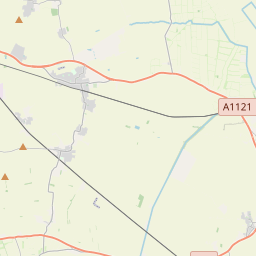


52.8054, -0.1667© OpenStreetMap
Lugares con este código
18| Lugar | Región | Condado | Coordenadas |
|---|---|---|---|
| Church End | England | Lincolnshire | 52.8054, -0.1667 |
| Crossgate | England | Lincolnshire | 52.8073, -0.2705 |
| Deeping St Nicholas | England | Lincolnshire | 52.7237, -0.2074 |
| Donington | England | Lincolnshire | 52.9046, -0.205 |
| Gosberton | England | Lincolnshire | 52.8691, -0.161 |
| Little London | England | Lincolnshire | 52.8073, -0.2705 |
| Northorpe | England | Lincolnshire | 52.8054, -0.1667 |
| Pinchbeck | England | Lincolnshire | 52.813, -0.1626 |
| Pinchbeck Bars | England | Lincolnshire | 52.8073, -0.2705 |
| Pinchbeck West | England | Lincolnshire | 52.8073, -0.2705 |
| Pode Hole | England | Lincolnshire | 52.8073, -0.2705 |
| Quadring | England | Lincolnshire | 52.8824, -0.1832 |
| Quadring Eaudike | England | Lincolnshire | 52.8073, -0.2705 |
| Risegate | England | Lincolnshire | 52.8073, -0.2705 |
| Spalding | England | Lincolnshire | 52.7871, -0.1514 |
| Surfleet | England | Lincolnshire | 52.837, -0.1444 |
| Surfleet Seas End | England | Lincolnshire | 52.8073, -0.2705 |
| Westhorpe | England | Lincolnshire | 52.8073, -0.2705 |
Mismo código en otros países
0Este código solo aparece en este país.
FAQ
¿En qué ciudad está PE11?
Church End, England, Reino Unido.
¿Cuáles son las coordenadas de PE11?
52.8054, -0.1667
¿Se usa PE11 en otros países?
No.
Los datos no son oficiales y presentan truncamientos conocidos; verifica con el destinatario y el transportista en los envíos críticos. Ver la fuente y la licencia de los datos → · Actualizado el 2026-11-09. Atribución en