
Reino Unido
PE12 código postal
Detalles del código postal
38 lugaresCódigo
Lugar
Aswick Grange
Región
England
Condado
Lincolnshire
Coordenadas
52.6947, -0.0255
Precisión
3 / 6
País
Reino Unido
Ubicación
OpenStreetMap ↗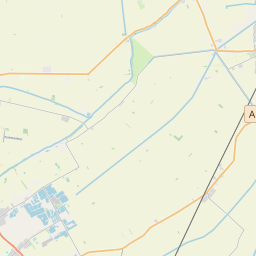
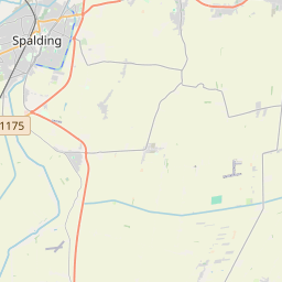
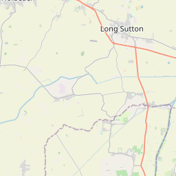
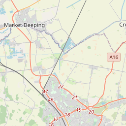
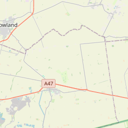
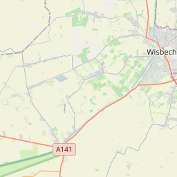
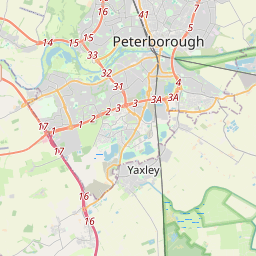
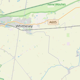
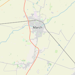
52.6947, -0.0255© OpenStreetMap
Lugares con este código
38| Lugar | Región | Condado | Coordenadas |
|---|---|---|---|
| Aswick Grange | England | Lincolnshire | 52.6947, -0.0255 |
| Chapelgate | England | Lincolnshire | 52.6947, -0.0255 |
| Cowbit | England | Lincolnshire | 52.7452, -0.1298 |
| Dawsmere | England | Lincolnshire | 52.6947, -0.0255 |
| Fleet | England | Lincolnshire | 52.7932, 0.0585 |
| Fleet Hargate | England | Lincolnshire | 52.6947, -0.0255 |
| Gedney | England | Lincolnshire | 52.7977, 0.0791 |
| Gedney Broadgate | England | Lincolnshire | 52.6947, -0.0255 |
| Gedney Drove End | England | Lincolnshire | 52.6947, -0.0255 |
| Gedney Dyke | England | Lincolnshire | 52.6947, -0.0255 |
| Gedney Hill | England | Lincolnshire | 52.6843, -0.0201 |
| Guy's Head | England | Lincolnshire | 52.6947, -0.0255 |
| Holbeach | England | Lincolnshire | 52.804, 0.0144 |
| Holbeach Bank | England | Lincolnshire | 52.6947, -0.0255 |
| Holbeach Clough | England | Lincolnshire | 52.8248, -0.0113 |
| Holbeach Drove | England | Lincolnshire | 52.6947, -0.0255 |
| Holbeach Hurn | England | Lincolnshire | 52.6947, -0.0255 |
| Holbeach St Johns | England | Lincolnshire | 52.6947, -0.0255 |
| Holbeach St Marks | England | Lincolnshire | 52.6947, -0.0255 |
| Holbeach St Matthew | England | Lincolnshire | 52.6947, -0.0255 |
| Little London | England | Lincolnshire | 52.6947, -0.0255 |
| Long Sutton | England | Lincolnshire | 52.7865, 0.119 |
| Loosegate | England | Lincolnshire | 52.6947, -0.0255 |
| Lutton | England | Lincolnshire | 52.8053, 0.1323 |
| Moulton | England | Lincolnshire | 52.7991, -0.0637 |
| Moulton Chapel | England | Lincolnshire | 52.7467, -0.0827 |
| Moulton Seas End | England | Lincolnshire | 52.6947, -0.0255 |
| Saracen's Head | England | Lincolnshire | 52.6947, -0.0255 |
| Shepeau Stow | England | Lincolnshire | 52.6947, -0.0255 |
| Sutton Bridge | England | Lincolnshire | 52.77, 0.1855 |
| Sutton Crosses | England | Lincolnshire | 52.6947, -0.0255 |
| Sutton St Edmund | England | Lincolnshire | 52.6947, -0.0255 |
| Sutton St James | England | Lincolnshire | 52.7442, 0.0647 |
| Weston | England | Lincolnshire | 52.791, -0.0952 |
| Weston Hills | England | Lincolnshire | 52.6947, -0.0255 |
| Whaplode | England | Lincolnshire | 52.7993, -0.0364 |
| Whaplode Drove | England | Lincolnshire | 52.6947, -0.0255 |
| Whaplode St Catherine | England | Lincolnshire | 52.6947, -0.0255 |
Mismo código en otros países
0Este código solo aparece en este país.
FAQ
¿En qué ciudad está PE12?
Aswick Grange, England, Reino Unido.
¿Cuáles son las coordenadas de PE12?
52.6947, -0.0255
¿Se usa PE12 en otros países?
No.
Los datos no son oficiales y presentan truncamientos conocidos; verifica con el destinatario y el transportista en los envíos críticos. Ver la fuente y la licencia de los datos → · Actualizado el 2026-11-09. Atribución en