
Reino Unido
PE6 código postal
Detalles del código postal
19 lugaresCódigo
Lugar
Baston
Región
England
Condado
Lincolnshire
Coordenadas
52.7131, -0.3517
Precisión
4 / 6
País
Reino Unido
Ubicación
OpenStreetMap ↗


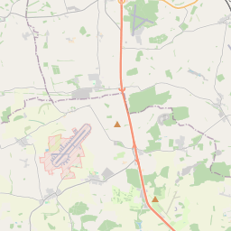
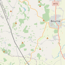
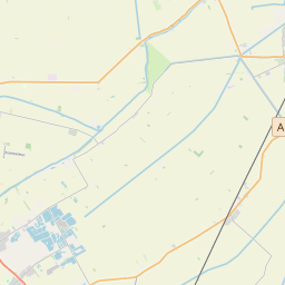
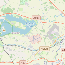
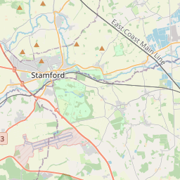
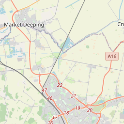
52.7131, -0.3517© OpenStreetMap
Lugares con este código
19| Lugar | Región | Condado | Coordenadas |
|---|---|---|---|
| Baston | England | Lincolnshire | 52.7131, -0.3517 |
| Crowland | England | Lincolnshire | 52.6757, -0.1685 |
| Deeping Gate | England | Cambridgeshire | 52.6679, -0.3021 |
| Deeping St James | England | Lincolnshire | 52.6717, -0.2891 |
| Etton | England | Cambridgeshire | 52.6347, -0.3185 |
| Eye | England | Cambridgeshire | 52.608, -0.1921 |
| Eye Green | England | Lincolnshire | 52.734, -0.2908 |
| Glinton | England | Cambridgeshire | 52.6392, -0.2963 |
| Helpston | England | Cambridgeshire | 52.6323, -0.3468 |
| Langtoft | England | Lincolnshire | 52.6983, -0.3404 |
| Marholm | England | Cambridgeshire | 52.6047, -0.3082 |
| Market Deeping | England | Lincolnshire | 52.6765, -0.3163 |
| Maxey | England | Cambridgeshire | 52.6584, -0.334 |
| Newborough | England | Cambridgeshire | 52.6389, -0.2233 |
| North Side | England | Lincolnshire | 52.734, -0.2908 |
| Northborough | England | Cambridgeshire | 52.6587, -0.2982 |
| Peakirk | England | Cambridgeshire | 52.6457, -0.2729 |
| Thorney | England | Cambridgeshire | 52.6215, -0.1081 |
| West Deeping | England | Lincolnshire | 52.6669, -0.3576 |
Mismo código en otros países
0Este código solo aparece en este país.
FAQ
¿En qué ciudad está PE6?
Baston, England, Reino Unido.
¿Cuáles son las coordenadas de PE6?
52.7131, -0.3517
¿Se usa PE6 en otros países?
No.
Los datos no son oficiales y presentan truncamientos conocidos; verifica con el destinatario y el transportista en los envíos críticos. Ver la fuente y la licencia de los datos → · Actualizado el 2026-11-09. Atribución en