
Reino Unido
SY4 código postal
Detalles del código postal
50 lugaresCódigo
Lugar
Albrighton
Región
England
Condado
Shropshire
Coordenadas
52.75, -2.75
Precisión
4 / 6
País
Reino Unido
Ubicación
OpenStreetMap ↗


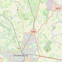
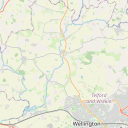

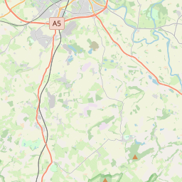
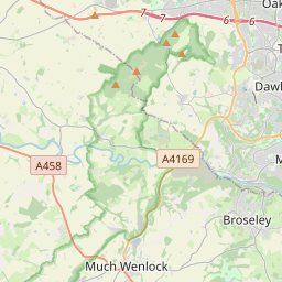
52.75, -2.75© OpenStreetMap
Lugares con este código
50| Lugar | Región | Condado | Coordenadas |
|---|---|---|---|
| Albrighton | England | Shropshire | 52.75, -2.75 |
| Alderton | England | Shropshire | 52.7981, -2.752 |
| Astley | England | Shropshire | 52.7667, -2.7 |
| Aston | England | Shropshire | 52.7981, -2.752 |
| Baschurch | England | Shropshire | 52.7885, -2.8528 |
| Besford | England | Shropshire | 52.7981, -2.752 |
| Bomere Heath | England | Shropshire | 52.691, -2.6049 |
| Booley | England | Shropshire | 52.691, -2.6049 |
| Burlton | England | Shropshire | 52.829, -2.8067 |
| Clive | England | Shropshire | 52.8, -2.7167 |
| Edgebolton | England | Shropshire | 52.691, -2.6049 |
| Edstaston | England | Shropshire | 52.8821, -2.7167 |
| Ensdon | England | Shropshire | 52.691, -2.6049 |
| Felton Butler | England | Shropshire | 52.691, -2.6049 |
| Fitz | England | Shropshire | 52.7558, -2.8195 |
| Forton | England | Shropshire | 52.7981, -2.752 |
| Grafton | England | Shropshire | 52.7981, -2.752 |
| Great Ness | England | Shropshire | 52.7638, -2.8915 |
| Great Wytheford | England | Shropshire | 52.691, -2.6049 |
| Grinshill | England | Shropshire | 52.806, -2.7118 |
| Hadnall | England | Shropshire | 52.7738, -2.71 |
| Harmer Hill | England | Shropshire | 52.691, -2.6049 |
| Haughton | England | Shropshire | 52.8388, -2.9359 |
| High Hatton | England | Shropshire | 52.691, -2.6049 |
| Kinton | England | Shropshire | 52.7683, -2.9336 |
| Leaton | England | Shropshire | 52.7618, -2.7913 |
| Lee Brockhurst | England | Shropshire | 52.8399, -2.6737 |
| Little Ness | England | Shropshire | 52.7713, -2.8796 |
| Loppington | England | Shropshire | 52.8589, -2.7875 |
| Marchamley | England | Shropshire | 52.8615, -2.6007 |
| Merrington | England | Shropshire | 52.7823, -2.7847 |
| Milford | England | Shropshire | 52.7981, -2.752 |
| Montford | England | Shropshire | 52.732, -2.8904 |
| Montford Bridge | England | Shropshire | 52.691, -2.6049 |
| Moreton Corbet | England | Shropshire | 52.8058, -2.657 |
| Myddle | England | Shropshire | 52.8102, -2.789 |
| Myddlewood | England | Shropshire | 52.691, -2.6049 |
| Nesscliffe | England | Shropshire | 52.691, -2.6049 |
| Newtown | England | Shropshire | 52.7981, -2.752 |
| Noneley | England | Shropshire | 52.691, -2.6049 |
| Northwood | England | Shropshire | 52.7981, -2.752 |
| Norton | England | Shropshire | 52.7981, -2.752 |
| Paddolgreen | England | Shropshire | 52.691, -2.6049 |
| Pentre | England | Shropshire | 52.7981, -2.752 |
| Petton | England | Shropshire | 52.8333, -2.8333 |
| Poynton Green | England | Shropshire | 52.691, -2.6049 |
| Prescott | England | Shropshire | 52.7981, -2.752 |
| Preston Brockhurst | England | Shropshire | 52.691, -2.6049 |
| Preston Gubbals | England | Shropshire | 52.7721, -2.7531 |
| Quina Brook | England | Shropshire | 52.691, -2.6049 |
Mismo código en otros países
0Este código solo aparece en este país.
FAQ
¿En qué ciudad está SY4?
Albrighton, England, Reino Unido.
¿Cuáles son las coordenadas de SY4?
52.75, -2.75
¿Se usa SY4 en otros países?
No.
Los datos no son oficiales y presentan truncamientos conocidos; verifica con el destinatario y el transportista en los envíos críticos. Ver la fuente y la licencia de los datos → · Actualizado el 2026-11-09. Atribución en