
Reino Unido
TF9 código postal
Detalles del código postal
41 lugaresCódigo
Lugar
Adderley
Región
England
Condado
Shropshire
Coordenadas
52.954, -2.5047
Precisión
4 / 6
País
Reino Unido
Ubicación
OpenStreetMap ↗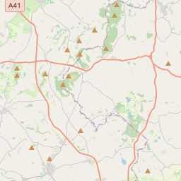
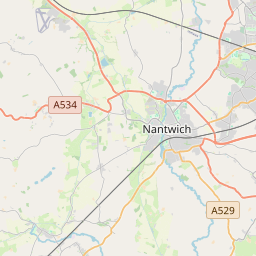
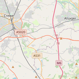
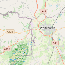
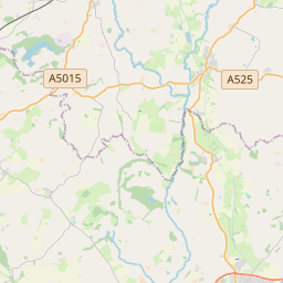
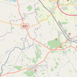
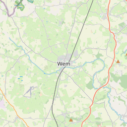
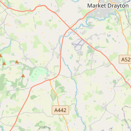
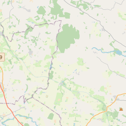
52.954, -2.5047© OpenStreetMap
Lugares con este código
41| Lugar | Región | Condado | Coordenadas |
|---|---|---|---|
| Adderley | England | Shropshire | 52.954, -2.5047 |
| Almington | England | Staffordshire | 52.8139, -2.3757 |
| Ashley | England | Staffordshire | 52.9237, -2.3542 |
| Aston | England | Shropshire | 52.8971, -2.4704 |
| Betton | England | Staffordshire | 52.8139, -2.3757 |
| Bletchley | England | Staffordshire | 52.8139, -2.3757 |
| Cheswardine | England | Shropshire | 52.8652, -2.4145 |
| Child's Ercall | England | Shropshire | 52.8248, -2.4925 |
| Chipnall | England | Staffordshire | 52.8139, -2.3757 |
| Eaton upon Tern | England | Staffordshire | 52.8139, -2.3757 |
| Ellerton | England | Staffordshire | 52.8139, -2.3757 |
| Hales | England | Staffordshire | 52.8139, -2.3757 |
| Heathcote | England | Staffordshire | 52.8139, -2.3757 |
| High Heath | England | Staffordshire | 52.8139, -2.3757 |
| Hinstock | England | Shropshire | 52.8371, -2.4576 |
| Hodnet | England | Shropshire | 52.8505, -2.5682 |
| Hookgate | England | Staffordshire | 52.8139, -2.3757 |
| Hopton | England | Shropshire | 52.8971, -2.4704 |
| Knighton | England | Shropshire | 52.8971, -2.4704 |
| Lockleywood | England | Shropshire | 52.8515, -2.46 |
| Loggerheads | England | Staffordshire | 52.9228, -2.3897 |
| Longford | England | Shropshire | 52.8971, -2.4704 |
| Longslow | England | Staffordshire | 52.8139, -2.3757 |
| Market Drayton | England | Shropshire | 52.9054, -2.4901 |
| Mill Green | England | Staffordshire | 52.8139, -2.3757 |
| Moreton Say | England | Shropshire | 52.9061, -2.5524 |
| Mucklestone | England | Staffordshire | 52.9326, -2.4096 |
| Norton in Hales | England | Shropshire | 52.9441, -2.4431 |
| Ollerton | England | Shropshire | 52.8971, -2.4704 |
| Peplow | England | Shropshire | 52.8166, -2.5456 |
| Pipe Gate | England | Shropshire | 52.9632, -2.3915 |
| Rosehill | England | Staffordshire | 52.8139, -2.3757 |
| Soudley | England | Shropshire | 52.8971, -2.4704 |
| Spoonley | England | Staffordshire | 52.8139, -2.3757 |
| Stoke Heath | England | Staffordshire | 52.8139, -2.3757 |
| Stoke on Tern | England | Staffordshire | 52.8139, -2.3757 |
| Sutton | England | Shropshire | 52.8971, -2.4704 |
| Ternhill | England | Shropshire | 52.8857, -2.5431 |
| Wistanswick | England | Staffordshire | 52.8139, -2.3757 |
| Wollerton | England | Staffordshire | 52.8139, -2.3757 |
| Woodseaves | England | Staffordshire | 52.8139, -2.3757 |
Mismo código en otros países
0Este código solo aparece en este país.
FAQ
¿En qué ciudad está TF9?
Adderley, England, Reino Unido.
¿Cuáles son las coordenadas de TF9?
52.954, -2.5047
¿Se usa TF9 en otros países?
No.
Los datos no son oficiales y presentan truncamientos conocidos; verifica con el destinatario y el transportista en los envíos críticos. Ver la fuente y la licencia de los datos → · Actualizado el 2026-11-09. Atribución en