
United Kingdom
LE65 post code
Post code details
6 placesCode
Place
Ashby de la Zouch
Region
England
County
Leicestershire
Coordinates
52.7463, -1.4732
Accuracy
4 / 6
Country
United Kingdom
Location
OpenStreetMap ↗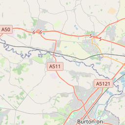
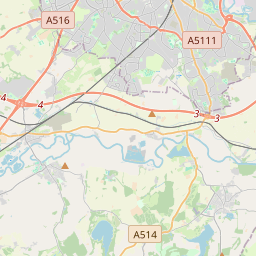
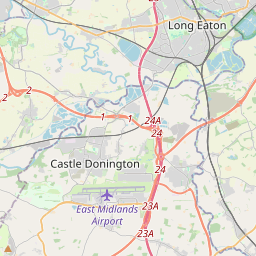


52.7463, -1.4732© OpenStreetMap
Places under this code
6| Place | Region | County | Coordinates |
|---|---|---|---|
| Ashby de la Zouch | England | Leicestershire | 52.7463, -1.4732 |
| Lount | England | Leicestershire | 52.7559, -1.4553 |
| Packington | England | Leicestershire | 52.7285, -1.4662 |
| Smisby | England | Derbyshire | 52.7682, -1.4843 |
| Staunton Harold Hall | England | Leicestershire | 52.7559, -1.4553 |
| Worthington | England | Leicestershire | 52.7803, -1.3977 |
Same code in other countries
0This code only appears in this country.
FAQ
Which city is LE65 in?
Ashby de la Zouch, England, United Kingdom.
What are the coordinates of LE65?
52.7463, -1.4732
Is LE65 used in other countries?
No.