
Inggris Raya
LA2 kode pos
Detail kode pos
44 tempatKode
Tempat
Abbeystead
Wilayah
England
Kabupaten
Lancashire
Koordinat
54.0385, -2.6319
Akurasi
3 / 6
Negara
Inggris Raya
Lokasi
OpenStreetMap ↗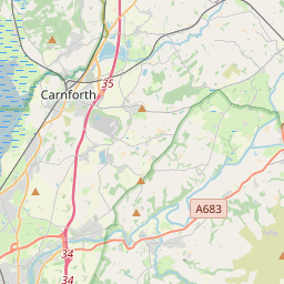
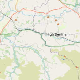
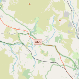
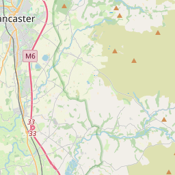
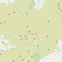
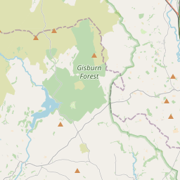


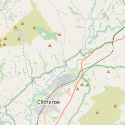
54.0385, -2.6319© OpenStreetMap
Tempat di bawah kode ini
44| Tempat | Wilayah | Kabupaten | Koordinat |
|---|---|---|---|
| Abbeystead | England | Lancashire | 54.0385, -2.6319 |
| Aughton | England | Lancashire | 54.0666, -2.6699 |
| Austwick | England | North Yorkshire | 54.111, -2.3581 |
| Bottom Head | England | Lancashire | 54.0385, -2.6319 |
| Braides | England | Lancashire | 54.0385, -2.6319 |
| Brookhouse | England | Lancashire | 54.0385, -2.6319 |
| Caton | England | Lancashire | 54.0762, -2.719 |
| Clapham | England | North Yorkshire | 54.1, -2.3833 |
| Claughton | England | Lancashire | 54.0833, -2.6667 |
| Cockerham | England | Lancashire | 53.9633, -2.8166 |
| Conder Green | England | Lancashire | 54.0385, -2.6319 |
| Crossgill | England | Lancashire | 54.0385, -2.6319 |
| Dolphinholme | England | Lancashire | 54.0385, -2.6319 |
| Eldroth | England | North Yorkshire | 54.0825, -2.3624 |
| Feizor | England | Lancashire | 54.0385, -2.6319 |
| Galgate | England | Lancashire | 53.9833, -2.7833 |
| Glasson | England | Lancashire | 53.9981, -2.8474 |
| Gressingham | England | Lancashire | 54.1241, -2.6577 |
| Halton | England | Lancashire | 54.0667, -2.7667 |
| Hest Bank | England | Lancashire | 54.0833, -2.8167 |
| High Bentham | England | North Yorkshire | 54.1182, -2.512 |
| Higher Thrushgill | England | Lancashire | 54.05, -2.5333 |
| Hornby | England | Lancashire | 54.1, -2.6333 |
| Keasden | England | Lancashire | 54.0385, -2.6319 |
| Lawkland | England | North Yorkshire | 54.0825, -2.3608 |
| Lee | England | Lancashire | 54.0385, -2.6319 |
| Low Bentham | England | Lancashire | 54.0385, -2.6319 |
| Lower Green Bank | England | Lancashire | 54.0385, -2.6319 |
| Lower Thurnham | England | Lancashire | 54.0385, -2.6319 |
| Lowgill | England | Lancashire | 54.0385, -2.6319 |
| Marshaw | England | Lancashire | 53.975, -2.626 |
| Middle Salter | England | Lancashire | 54.0385, -2.6319 |
| Mill Houses | England | Lancashire | 54.0385, -2.6319 |
| Moor Cock | England | Lancashire | 54.0385, -2.6319 |
| Newby | England | North Yorkshire | 54.1167, -2.4167 |
| Quernmore | England | Lancashire | 54.0465, -2.7381 |
| Slyne | England | Lancashire | 54.0385, -2.6319 |
| Stodday | England | Lancashire | 54.0385, -2.6319 |
| Tarnbrook | England | Lancashire | 53.9953, -2.6315 |
| Tatham | England | Lancashire | 54.102, -2.5585 |
| Upper Thurnham | England | Lancashire | 54.0385, -2.6319 |
| Wennington | England | Lancashire | 54.1167, -2.5833 |
| Wharfe | England | Lancashire | 54.0385, -2.6319 |
| Wray | England | Lancashire | 54.1027, -2.6089 |
Kode yang sama di negara lain
0Kode ini hanya muncul di negara ini.
FAQ
LA2 berada di kota mana?
Abbeystead, England, Inggris Raya.
Apa koordinat LA2?
54.0385, -2.6319
Apakah LA2 dipakai di negara lain?
Tidak.
Data ini tidak resmi dan memiliki pemotongan yang diketahui; verifikasi dengan penerima dan kurir untuk pengiriman penting. Lihat sumber data & lisensi → · Diperbarui 2026-11-09. Atribusi di