
Inggris Raya
NP7 kode pos
Detail kode pos
38 tempatKode
Tempat
Abergavenny
Wilayah
Wales
Kabupaten
Monmouthshire
Koordinat
51.821, -3.0174
Akurasi
4 / 6
Negara
Inggris Raya
Lokasi
OpenStreetMap ↗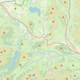
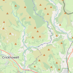
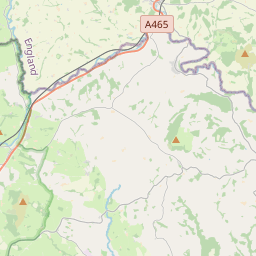
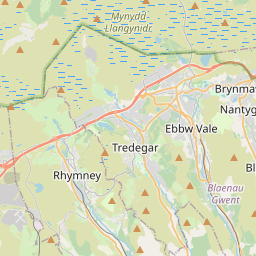
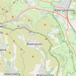
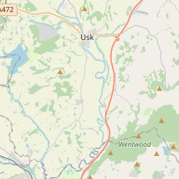
51.821, -3.0174© OpenStreetMap
Tempat di bawah kode ini
38| Tempat | Wilayah | Kabupaten | Koordinat |
|---|---|---|---|
| Abergavenny | Wales | Monmouthshire | 51.821, -3.0174 |
| Blackrock | England | Monmouthshire | 51.8293, -3.0108 |
| Blaenawey | England | Monmouthshire | 51.8426, -3.0851 |
| Bont | England | Monmouthshire | 51.8426, -3.0851 |
| Capel-y-ffin | Wales | Powys | 51.977, -3.0864 |
| Clydach | Wales | Monmouthshire | 51.8, -3.1167 |
| Coed Morgan | England | Monmouthshire | 51.8426, -3.0851 |
| Croes Hywel | England | Monmouthshire | 51.8426, -3.0851 |
| Cross Ash | England | Monmouthshire | 51.8426, -3.0851 |
| Cwmyoy | Wales | Monmouthshire | 51.9035, -3.0203 |
| Gilwern | Wales | Monmouthshire | 51.8247, -3.0936 |
| Govilon | Wales | Monmouthshire | 51.8193, -3.063 |
| Grosmont | Wales | Monmouthshire | 51.9167, -2.8667 |
| Hoaldalbert | England | Monmouthshire | 51.8426, -3.0851 |
| Llanddewi Rhydderch | Wales | Monmouthshire | 51.8118, -2.9436 |
| Llanellen | Wales | Monmouthshire | 51.793, -3.0123 |
| Llanelly | England | Monmouthshire | 51.8293, -3.0108 |
| Llanfihangel Crucorney | England | Monmouthshire | 51.8426, -3.0851 |
| Llanfoist | England | Monmouthshire | 51.8426, -3.0851 |
| Llangattock Lingoed | Wales | Monmouthshire | 51.8756, -2.9293 |
| Llangua | England | Monmouthshire | 51.8426, -3.0851 |
| Llanover | Wales | Monmouthshire | 51.7684, -2.9989 |
| Llanthony | Wales | Monmouthshire | 51.9432, -3.0381 |
| Llantilio Crossenny | England | Monmouthshire | 51.8426, -3.0851 |
| Llantilio Pertholey | England | Monmouthshire | 51.8426, -3.0851 |
| Llanvapley | England | Monmouthshire | 51.8426, -3.0851 |
| Llanvetherine | Wales | Monmouthshire | 51.8499, -2.927 |
| Llanvihangel Gobion | England | Monmouthshire | 51.8426, -3.0851 |
| Mardy | England | Monmouthshire | 51.8293, -3.0108 |
| Nant-y-derry | England | Monmouthshire | 51.8426, -3.0851 |
| Oldcastle | Wales | Monmouthshire | 51.9167, -2.9833 |
| Pandy | Wales | Monmouthshire | 51.9, -2.9667 |
| Patrishow | Wales | Powys | 51.8957, -3.0502 |
| Pen-groes-oped | England | Monmouthshire | 51.8426, -3.0851 |
| Rhyd-y-meirch | England | Monmouthshire | 51.8426, -3.0851 |
| Skenfrith | Wales | Monmouthshire | 51.8779, -2.79 |
| The Bryn | England | Monmouthshire | 51.8426, -3.0851 |
| Upper Green | England | Monmouthshire | 51.8426, -3.0851 |
Kode yang sama di negara lain
0Kode ini hanya muncul di negara ini.
FAQ
NP7 berada di kota mana?
Abergavenny, Wales, Inggris Raya.
Apa koordinat NP7?
51.821, -3.0174
Apakah NP7 dipakai di negara lain?
Tidak.
Data ini tidak resmi dan memiliki pemotongan yang diketahui; verifikasi dengan penerima dan kurir untuk pengiriman penting. Lihat sumber data & lisensi → · Diperbarui 2026-11-09. Atribusi di