
Francia
66480 codice postale
Dettagli del codice postale
7 luoghiCodice
Luogo
L'Albère
Regione
Occitanie
Contea
Pyrénées-Orientales
Coordinate
42.4828, 2.8944
Precisione
5 / 6
Paese
Francia
Posizione
OpenStreetMap ↗


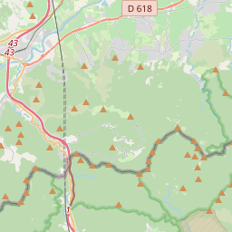
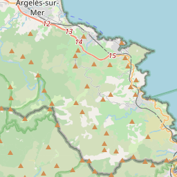


42.4828, 2.8944© OpenStreetMap
Luoghi con questo codice
7| Luogo | Regione | Contea | Coordinate |
|---|---|---|---|
| L'Albère | Occitanie | Pyrénées-Orientales | 42.4828, 2.8944 |
| Le Perthus | Occitanie | Pyrénées-Orientales | 42.4646, 2.8623 |
| Les Cluses | Occitanie | Pyrénées-Orientales | 42.4863, 2.8394 |
| Maureillas-las-Illas | Occitanie | Pyrénées-Orientales | 42.4901, 2.8075 |
| Sant Joan d'Albera | Occitanie | Pyrénées-Orientales | 42.4834, 2.893 |
| el Pertús | Occitanie | Pyrénées-Orientales | 42.4652, 2.8624 |
| la Clusa d'Avall | Occitanie | Pyrénées-Orientales | 42.4915, 2.8288 |
Stesso codice in altri Paesi
2| Paese | Luogo | Regione |
|---|---|---|
| MX Messico | Azteca Fomerrey 11 | Nuevo León |
| SE Svezia | Grums | Värmland |
FAQ
In quale città si trova 66480?
L'Albère, Occitanie, Francia.
Quali sono le coordinate di 66480?
42.4828, 2.8944
66480 è usato in altri Paesi?
Sì, in altri 2 Paesi.
I dati non sono ufficiali e presentano troncamenti noti; per le spedizioni critiche verifica con il destinatario e con il corriere. Vedi fonte e licenza dei dati → · Aggiornato il 2026-11-09. Attribuzione in