
メキシコ
72450 郵便番号
郵便番号の詳細
10 地点番号
地点
Concepción Guadalupe
地域
Puebla
郡 / 区
Puebla
座標
19.0254, -98.2283
精度
4 / 6
国
メキシコ
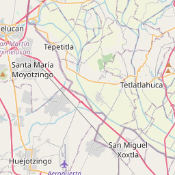
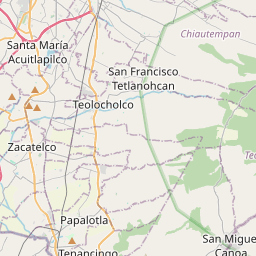

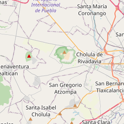
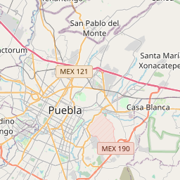


19.0254, -98.2283© OpenStreetMap
この番号に含まれる地点
10| 地点 | 地域 | 郡 / 区 | 座標 |
|---|---|---|---|
| Concepción Guadalupe | Puebla | Puebla | 19.0254, -98.2283 |
| El Paraíso | Puebla | Puebla | 18.9925, -98.1856 |
| El Patrimonio | Puebla | Puebla | 19.0125, -98.223 |
| El Progreso | Puebla | Puebla | 19.0087, -98.1755 |
| Kepler | Puebla | Puebla | 19.0129, -98.2208 |
| Leobardo Coca C. | Puebla | Puebla | 19.0129, -98.2208 |
| Lomas Club de Golf | Puebla | Puebla | 19.0196, -98.2307 |
| San José Mayorazgo | Puebla | Puebla | 19.0106, -98.2322 |
| Vicente Ferrer | Puebla | Puebla | 19.0168, -98.2249 |
| Villas Everest | Puebla | Puebla | 19.0129, -98.2208 |
FAQ
72450 はどの都市ですか?
Concepción Guadalupe、Puebla、メキシコ。
72450 の座標は?
19.0254, -98.2283
72450 は他の国でも使われていますか?
はい、他 3 か国です。
データは非公式で、既知の切り詰めがあります。重要な発送では受取人と配送業者に確認してください。 データの出典とライセンスを見る → · 2026-11-09 更新。出典: