
Mexico
30820 post code
Post code details
13 placesCode
Place
Camino Verde
Region
Chiapas
County
Tapachula
Coordinates
14.9167, -92.4028
Accuracy
4 / 6
Country
Mexico
Location
OpenStreetMap ↗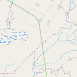
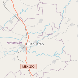
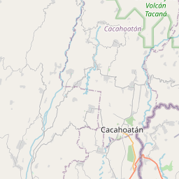
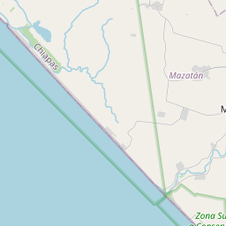
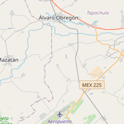
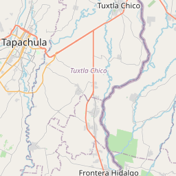
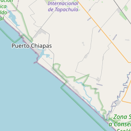
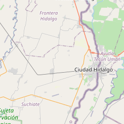
14.9167, -92.4028© OpenStreetMap
Places under this code
13| Place | Region | County | Coordinates |
|---|---|---|---|
| Camino Verde | Chiapas | Tapachula | 14.9167, -92.4028 |
| El Círculo | Chiapas | Tapachula | 14.9308, -92.37 |
| El Sunsal | Chiapas | Tapachula | 14.9311, -92.4147 |
| El Volver | Chiapas | Tapachula | 14.9314, -92.3836 |
| Esquipulas | Chiapas | Tapachula | 14.8796, -92.2726 |
| Guadalupe | Chiapas | Tapachula | 14.8981, -92.2506 |
| Isla del Río Pumpuapa | Chiapas | Tapachula | 14.8973, -92.337 |
| La Quince | Chiapas | Tapachula | 14.9319, -92.3881 |
| Las Trancas | Chiapas | Tapachula | 14.9183, -92.4047 |
| San Antonio | Chiapas | Tapachula | 14.7683, -92.3824 |
| San Enrique | Chiapas | Tapachula | 14.882, -92.2534 |
| San Francisco | Chiapas | Tapachula | 14.8792, -92.2496 |
| San Sebastián | Chiapas | Tapachula | 14.8997, -92.2713 |
Same code in other countries
6FAQ
Which city is 30820 in?
Camino Verde, Chiapas, Mexico.
What are the coordinates of 30820?
14.9167, -92.4028
Is 30820 used in other countries?
Yes, 6 other countries.