
Mexico
43180 post code
Post code details
4 placesCode
Place
Acapa (Santiago Acapa)
Region
Hidalgo
County
Tlahuiltepa
Coordinates
20.922, -98.8737
Accuracy
3 / 6
Country
Mexico
Location
OpenStreetMap ↗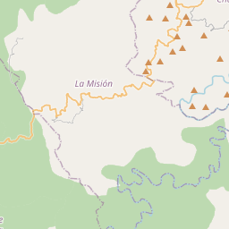
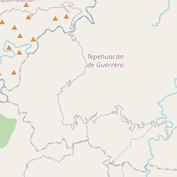
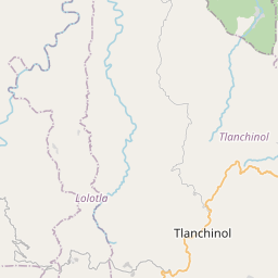
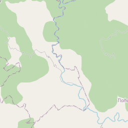
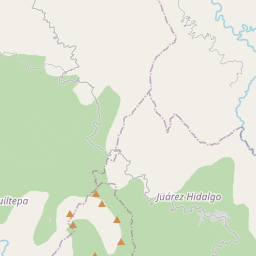
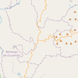
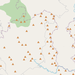
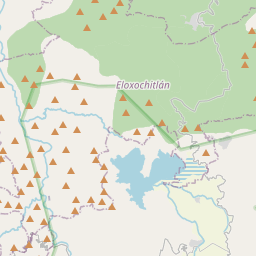
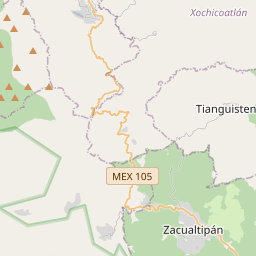
20.922, -98.8737© OpenStreetMap
Places under this code
4| Place | Region | County | Coordinates |
|---|---|---|---|
| Acapa (Santiago Acapa) | Hidalgo | Tlahuiltepa | 20.922, -98.8737 |
| El Dominí | Hidalgo | Tlahuiltepa | 20.9096, -98.8913 |
| Guadalupe | Hidalgo | Tlahuiltepa | 20.916, -98.869 |
| Santo Domingo | Hidalgo | Tlahuiltepa | 20.9403, -98.861 |
Same code in other countries
3FAQ
Which city is 43180 in?
Acapa (Santiago Acapa), Hidalgo, Mexico.
What are the coordinates of 43180?
20.922, -98.8737
Is 43180 used in other countries?
Yes, 3 other countries.