
ออสเตรีย
4672 รหัสไปรษณีย์
รายละเอียดรหัสไปรษณีย์
11 สถานที่รหัส
สถานที่
Bachmanning
ภูมิภาค
Oberösterreich
เขต
Wels-Land
พิกัด
48.131, 13.7944
ความแม่นยำ
4 / 6
ประเทศ
ออสเตรีย
ตำแหน่ง
OpenStreetMap ↗
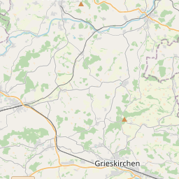
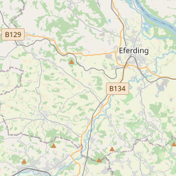
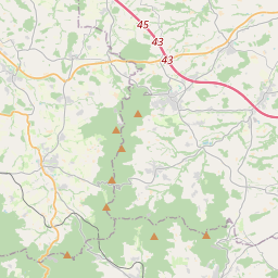
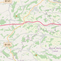
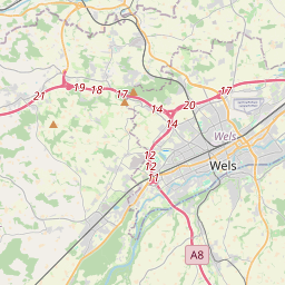
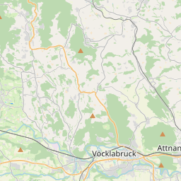
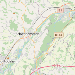
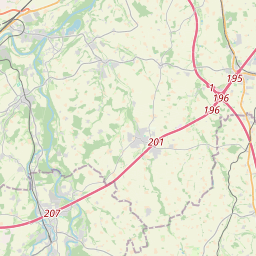
48.131, 13.7944© OpenStreetMap
สถานที่ภายใต้รหัสนี้
11| สถานที่ | ภูมิภาค | เขต | พิกัด |
|---|---|---|---|
| Bachmanning | Oberösterreich | Wels-Land | 48.131, 13.7944 |
| Bachmannsberg | Oberösterreich | Wels-Land | 48.1267, 13.9747 |
| Hundhagen | Oberösterreich | Wels-Land | 48.1333, 13.8 |
| Klind | Oberösterreich | Wels-Land | 48.1448, 13.7979 |
| Kohlgrub | Oberösterreich | Wels-Land | 48.1391, 13.8048 |
| Krottendorf | Oberösterreich | Wels-Land | 48.1339, 13.7928 |
| Oberndorf | Oberösterreich | Politischer Bezirk Grieskirchen | 48.16, 13.7845 |
| Oberseling | Oberösterreich | Wels-Land | 48.1267, 13.9747 |
| Pühret | Oberösterreich | Wels-Land | 48.1288, 13.8113 |
| Unterseling | Oberösterreich | Wels-Land | 48.1223, 13.7994 |
| Weingarten | Oberösterreich | Wels-Land | 48.1503, 13.7909 |
รหัสเดียวกันในประเทศอื่น
4FAQ
4672 อยู่ในเมืองใด?
Bachmanning, Oberösterreich, ออสเตรีย
พิกัดของ 4672 คืออะไร?
48.131, 13.7944
4672 ถูกใช้ในประเทศอื่นด้วยหรือไม่?
ใช่ ในอีก 4 ประเทศ
ข้อมูลไม่เป็นทางการและมีการตัดทอนที่ทราบอยู่แล้ว ตรวจสอบกับผู้รับและผู้ขนส่งสำหรับการจัดส่งที่สำคัญ ดูแหล่งที่มาและสัญญาอนุญาตของข้อมูล → · อัปเดต 2026-11-09 ดูการอ้างอิงที่