
ฝรั่งเศส
12140 รหัสไปรษณีย์
รายละเอียดรหัสไปรษณีย์
7 สถานที่รหัส
สถานที่
Campouriez
ภูมิภาค
Occitanie
เขต
Aveyron
พิกัด
44.6898, 2.607
ความแม่นยำ
5 / 6
ประเทศ
ฝรั่งเศส
ตำแหน่ง
OpenStreetMap ↗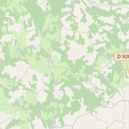
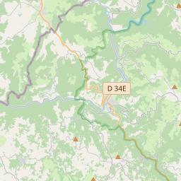
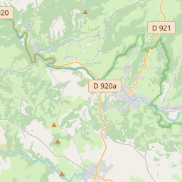
44.6898, 2.607© OpenStreetMap
สถานที่ภายใต้รหัสนี้
7| สถานที่ | ภูมิภาค | เขต | พิกัด |
|---|---|---|---|
| Campouriez | Occitanie | Aveyron | 44.6898, 2.607 |
| Entraygues-sur-Truyère | Occitanie | Aveyron | 44.6461, 2.5675 |
| Espeyrac | Occitanie | Aveyron | 44.6122, 2.5099 |
| Florentin-la-Capelle | Occitanie | Aveyron | 44.6302, 2.6319 |
| Golinhac | Occitanie | Aveyron | 44.6053, 2.5832 |
| Le Fel | Occitanie | Aveyron | 44.6525, 2.5071 |
| Saint-Hippolyte | Occitanie | Aveyron | 44.711, 2.592 |
รหัสเดียวกันในประเทศอื่น
5FAQ
12140 อยู่ในเมืองใด?
Campouriez, Occitanie, ฝรั่งเศส
พิกัดของ 12140 คืออะไร?
44.6898, 2.607
12140 ถูกใช้ในประเทศอื่นด้วยหรือไม่?
ใช่ ในอีก 5 ประเทศ
ข้อมูลไม่เป็นทางการและมีการตัดทอนที่ทราบอยู่แล้ว ตรวจสอบกับผู้รับและผู้ขนส่งสำหรับการจัดส่งที่สำคัญ ดูแหล่งที่มาและสัญญาอนุญาตของข้อมูล → · อัปเดต 2026-11-09 ดูการอ้างอิงที่