
ฝรั่งเศส
12220 รหัสไปรษณีย์
รายละเอียดรหัสไปรษณีย์
8 สถานที่รหัส
สถานที่
Galgan
ภูมิภาค
Occitanie
เขต
Aveyron
พิกัด
44.5031, 2.1795
ความแม่นยำ
5 / 6
ประเทศ
ฝรั่งเศส
ตำแหน่ง
OpenStreetMap ↗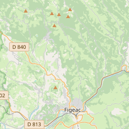
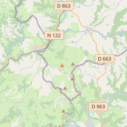
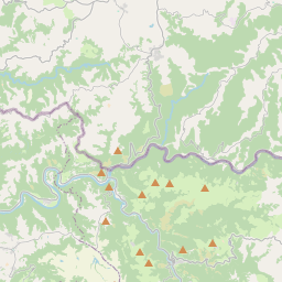
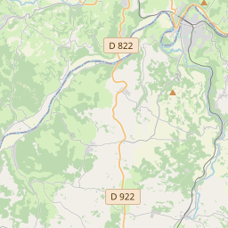
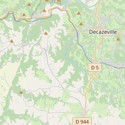
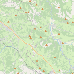
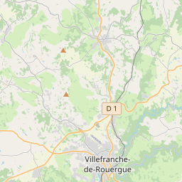
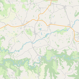
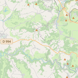
44.5031, 2.1795© OpenStreetMap
สถานที่ภายใต้รหัสนี้
8| สถานที่ | ภูมิภาค | เขต | พิกัด |
|---|---|---|---|
| Galgan | Occitanie | Aveyron | 44.5031, 2.1795 |
| Les Albres | Occitanie | Aveyron | 44.5385, 2.1735 |
| Lugan | Occitanie | Aveyron | 44.4832, 2.2582 |
| Montbazens | Occitanie | Aveyron | 44.4781, 2.2298 |
| Peyrusse-le-Roc | Occitanie | Aveyron | 44.496, 2.1413 |
| Roussennac | Occitanie | Aveyron | 44.454, 2.2524 |
| Valzergues | Occitanie | Aveyron | 44.4998, 2.2228 |
| Vaureilles | Occitanie | Aveyron | 44.4529, 2.198 |
FAQ
12220 อยู่ในเมืองใด?
Galgan, Occitanie, ฝรั่งเศส
พิกัดของ 12220 คืออะไร?
44.5031, 2.1795
12220 ถูกใช้ในประเทศอื่นด้วยหรือไม่?
ใช่ ในอีก 6 ประเทศ
ข้อมูลไม่เป็นทางการและมีการตัดทอนที่ทราบอยู่แล้ว ตรวจสอบกับผู้รับและผู้ขนส่งสำหรับการจัดส่งที่สำคัญ ดูแหล่งที่มาและสัญญาอนุญาตของข้อมูล → · อัปเดต 2026-11-09 ดูการอ้างอิงที่