
ฝรั่งเศส
50220 รหัสไปรษณีย์
รายละเอียดรหัสไปรษณีย์
14 สถานที่รหัส
สถานที่
Courtils
ภูมิภาค
Normandie
เขต
Manche
พิกัด
48.6278, -1.4095
ความแม่นยำ
5 / 6
ประเทศ
ฝรั่งเศส
ตำแหน่ง
OpenStreetMap ↗
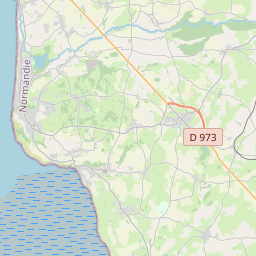
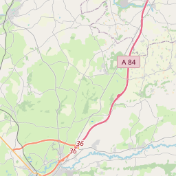
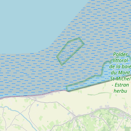
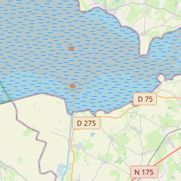
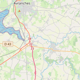
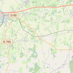

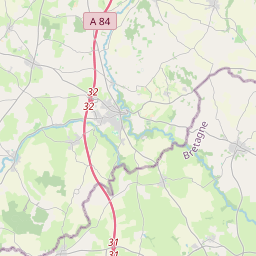
48.6278, -1.4095© OpenStreetMap
สถานที่ภายใต้รหัสนี้
14| สถานที่ | ภูมิภาค | เขต | พิกัด |
|---|---|---|---|
| Courtils | Normandie | Manche | 48.6278, -1.4095 |
| Crollon | Normandie | Manche | 48.5856, -1.3834 |
| Céaux | Normandie | Manche | 48.631, -1.3876 |
| Ducey | Normandie | Manche | 48.6184, -1.2905 |
| Ducey-Les Chéris | Normandie | Manche | 48.6192, -1.2892 |
| Juilley | Normandie | Manche | 48.5984, -1.3454 |
| Le Mesnil-Ozenne | Normandie | Manche | 48.6668, -1.2306 |
| Les Chéris | Normandie | Manche | 48.6361, -1.2567 |
| Marcilly | Normandie | Manche | 48.6482, -1.2525 |
| Poilley | Normandie | Manche | 48.6179, -1.31 |
| Pontaubault | Normandie | Manche | 48.6293, -1.3516 |
| Précey | Normandie | Manche | 48.6074, -1.3775 |
| Saint-Ovin | Normandie | Manche | 48.6833, -1.2667 |
| Saint-Quentin-sur-le-Homme | Normandie | Manche | 48.6475, -1.3181 |
รหัสเดียวกันในประเทศอื่น
10FAQ
50220 อยู่ในเมืองใด?
Courtils, Normandie, ฝรั่งเศส
พิกัดของ 50220 คืออะไร?
48.6278, -1.4095
50220 ถูกใช้ในประเทศอื่นด้วยหรือไม่?
ใช่ ในอีก 10 ประเทศ
ข้อมูลไม่เป็นทางการและมีการตัดทอนที่ทราบอยู่แล้ว ตรวจสอบกับผู้รับและผู้ขนส่งสำหรับการจัดส่งที่สำคัญ ดูแหล่งที่มาและสัญญาอนุญาตของข้อมูล → · อัปเดต 2026-11-09 ดูการอ้างอิงที่