
สหราชอาณาจักร
LU6 รหัสไปรษณีย์
รายละเอียดรหัสไปรษณีย์
10 สถานที่รหัส
สถานที่
Church End
ภูมิภาค
England
เขต
Bedfordshire
พิกัด
51.8791, -0.536
ความแม่นยำ
4 / 6
ประเทศ
สหราชอาณาจักร
ตำแหน่ง
OpenStreetMap ↗


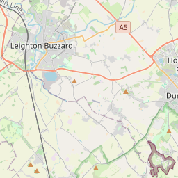
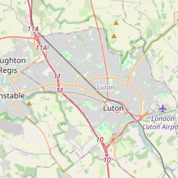

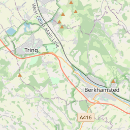
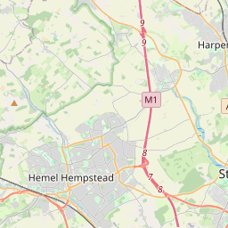
51.8791, -0.536© OpenStreetMap
สถานที่ภายใต้รหัสนี้
10| สถานที่ | ภูมิภาค | เขต | พิกัด |
|---|---|---|---|
| Church End | England | Bedfordshire | 51.8791, -0.536 |
| Dunstable | England | Bedfordshire | 51.8857, -0.5229 |
| Eaton Bray | England | Bedfordshire | 51.877, -0.5917 |
| Eaton Green | England | Bedfordshire | 51.8789, -0.5495 |
| Edlesborough | England | Buckinghamshire | 51.8665, -0.5854 |
| Kensworth | England | Bedfordshire | 51.8517, -0.5039 |
| Kensworth Common | England | Bedfordshire | 51.8789, -0.5495 |
| Studham | England | Bedfordshire | 51.8313, -0.5168 |
| Totternhoe | England | Bedfordshire | 51.8856, -0.5734 |
| Whipsnade | England | Bedfordshire | 51.8513, -0.5345 |
รหัสเดียวกันในประเทศอื่น
0รหัสนี้ปรากฏเฉพาะในประเทศนี้เท่านั้น
FAQ
LU6 อยู่ในเมืองใด?
Church End, England, สหราชอาณาจักร
พิกัดของ LU6 คืออะไร?
51.8791, -0.536
LU6 ถูกใช้ในประเทศอื่นด้วยหรือไม่?
ไม่
ข้อมูลไม่เป็นทางการและมีการตัดทอนที่ทราบอยู่แล้ว ตรวจสอบกับผู้รับและผู้ขนส่งสำหรับการจัดส่งที่สำคัญ ดูแหล่งที่มาและสัญญาอนุญาตของข้อมูล → · อัปเดต 2026-11-09 ดูการอ้างอิงที่