
สหราชอาณาจักร
MK45 รหัสไปรษณีย์
รายละเอียดรหัสไปรษณีย์
22 สถานที่รหัส
สถานที่
Ampthill
ภูมิภาค
England
เขต
Bedfordshire
พิกัด
52.0269, -0.4957
ความแม่นยำ
4 / 6
ประเทศ
สหราชอาณาจักร
ตำแหน่ง
OpenStreetMap ↗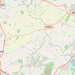


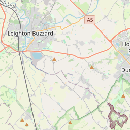
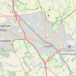

52.0269, -0.4957© OpenStreetMap
สถานที่ภายใต้รหัสนี้
22| สถานที่ | ภูมิภาค | เขต | พิกัด |
|---|---|---|---|
| Ampthill | England | Bedfordshire | 52.0269, -0.4957 |
| Barton-le-Clay | England | Bedfordshire | 51.966, -0.4273 |
| Clophill | England | Bedfordshire | 52.0273, -0.4238 |
| Cotton End | England | Bedfordshire | 52.0956, -0.4174 |
| Flitton | England | Bedfordshire | 52.0107, -0.4579 |
| Flitwick | England | Bedfordshire | 52.0034, -0.4947 |
| Greenfield | England | Bedfordshire | 52.0028, -0.466 |
| Haynes | England | Bedfordshire | 52.0665, -0.3995 |
| Haynes Church End | England | Bedfordshire | 52.0579, -0.424 |
| Herring's Green | England | Bedfordshire | 52.0285, -0.4639 |
| Houghton Conquest | England | Bedfordshire | 52.0618, -0.4776 |
| How End | England | Bedfordshire | 52.0559, -0.4951 |
| Kempston Hardwick | England | Bedfordshire | 52.0896, -0.4991 |
| Maulden | England | Bedfordshire | 52.0306, -0.4698 |
| Millbrook | England | Bedfordshire | 52.0388, -0.5244 |
| Pulloxhill | England | Bedfordshire | 51.9949, -0.4532 |
| Sharpenhoe | England | Bedfordshire | 51.9638, -0.4528 |
| Silsoe | England | Bedfordshire | 52.0085, -0.4248 |
| Steppingley | England | Bedfordshire | 52.0076, -0.5285 |
| Upper Gravenhurst | England | Bedfordshire | 52.0285, -0.4639 |
| Westoning | England | Bedfordshire | 51.9814, -0.497 |
| Wilstead | England | Bedfordshire | 52.0809, -0.4489 |
รหัสเดียวกันในประเทศอื่น
0รหัสนี้ปรากฏเฉพาะในประเทศนี้เท่านั้น
FAQ
MK45 อยู่ในเมืองใด?
Ampthill, England, สหราชอาณาจักร
พิกัดของ MK45 คืออะไร?
52.0269, -0.4957
MK45 ถูกใช้ในประเทศอื่นด้วยหรือไม่?
ไม่
ข้อมูลไม่เป็นทางการและมีการตัดทอนที่ทราบอยู่แล้ว ตรวจสอบกับผู้รับและผู้ขนส่งสำหรับการจัดส่งที่สำคัญ ดูแหล่งที่มาและสัญญาอนุญาตของข้อมูล → · อัปเดต 2026-11-09 ดูการอ้างอิงที่