
Austria
4262 post code
Post code details
11 placesCode
Place
Dorf Leopoldschlag
Region
Oberösterreich
County
Politischer Bezirk Freistadt
Coordinates
48.6128, 14.4854
Accuracy
4 / 6
Country
Austria
Location
OpenStreetMap ↗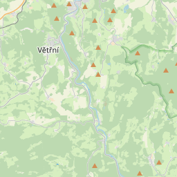
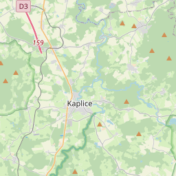
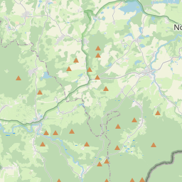
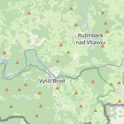
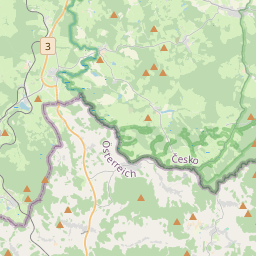
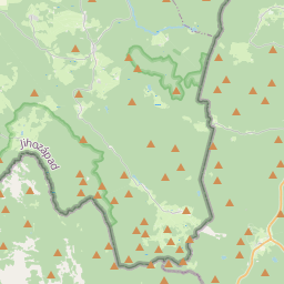
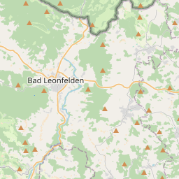
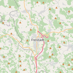
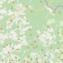
48.6128, 14.4854© OpenStreetMap
Places under this code
11| Place | Region | County | Coordinates |
|---|---|---|---|
| Dorf Leopoldschlag | Oberösterreich | Politischer Bezirk Freistadt | 48.6128, 14.4854 |
| Edlbruck | Oberösterreich | Politischer Bezirk Freistadt | 48.6, 14.4667 |
| Eisenhut | Oberösterreich | Politischer Bezirk Freistadt | 48.6167, 14.45 |
| Hammern | Oberösterreich | Politischer Bezirk Freistadt | 48.614, 14.5402 |
| Hiltschen | Oberösterreich | Politischer Bezirk Freistadt | 48.6234, 14.4756 |
| Leitmannsdorf | Oberösterreich | Politischer Bezirk Freistadt | 48.6281, 14.47 |
| Mardetschlag | Oberösterreich | Politischer Bezirk Freistadt | 48.6047, 14.5291 |
| Markt Leopoldschlag | Oberösterreich | Politischer Bezirk Freistadt | 48.6157, 14.5038 |
| Pramhöf | Oberösterreich | Politischer Bezirk Freistadt | 48.6148, 14.4906 |
| Stiegersdorf | Oberösterreich | Politischer Bezirk Freistadt | 48.6148, 14.4906 |
| Wullowitz | Oberösterreich | Politischer Bezirk Freistadt | 48.6362, 14.4575 |
Same code in other countries
4FAQ
Which city is 4262 in?
Dorf Leopoldschlag, Oberösterreich, Austria.
What are the coordinates of 4262?
48.6128, 14.4854
Is 4262 used in other countries?
Yes, 4 other countries.
The data is unofficial and has known truncation; verify with the recipient and carrier for critical shipments. See data source & license → · Updated 2026-11-09. Attribution in