
Vereinigtes Königreich
BT34 Postleitzahl
PLZ-Details
12 OrtePLZ
Ort
Annalong
Region
Northern Ireland
Kreis
County Down
Koordinaten
54.1082, -5.8997
Genauigkeit
4 / 6
Land
Vereinigtes Königreich
Lage
OpenStreetMap ↗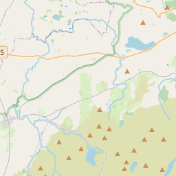
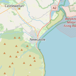

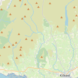
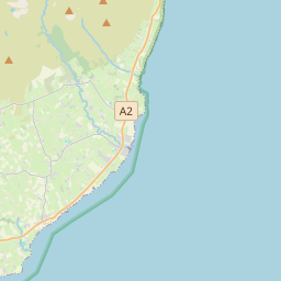


54.1082, -5.8997© OpenStreetMap
Orte unter dieser PLZ
12| Ort | Region | Kreis | Koordinaten |
|---|---|---|---|
| Annalong | Northern Ireland | County Down | 54.1082, -5.8997 |
| Ballymartin | Northern Ireland | County Down | 54.0811, -5.9482 |
| Cabra | Northern Ireland | County Down | 54.1462, -6.1206 |
| Hilltown | Northern Ireland | County Down | 54.2, -6.1333 |
| Kilcoo | Northern Ireland | County Down | 54.2167, -6.0333 |
| Kilkeel | Northern Ireland | County Down | 54.062, -6.0031 |
| Mayobridge | Northern Ireland | County Down | 54.1667, -6.2333 |
| Newry | Northern Ireland | — | 54.1784, -6.3374 |
| Poyntzpass | Northern Ireland | County Down | 54.1462, -6.1206 |
| Rathfriland | Northern Ireland | County Down | 54.25, -6.1667 |
| Rostrevor | Northern Ireland | County Down | 54.1, -6.2 |
| Warrenpoint | Northern Ireland | County Down | 54.1015, -6.2573 |
Gleiche PLZ in anderen Ländern
0Diese PLZ kommt nur in diesem Land vor.
FAQ
In welcher Stadt liegt BT34?
Annalong, Northern Ireland, Vereinigtes Königreich.
Welche Koordinaten hat BT34?
54.1082, -5.8997
Wird BT34 auch in anderen Ländern verwendet?
Nein.
Die Daten sind inoffiziell und gekürzt; bei kritischen Sendungen Adresse und Carrier prüfen. Quelle & Lizenz ansehen → · Aktualisiert am 2026-11-09. Quellenangabe in