
영국
BT34 우편번호
우편번호 정보
장소 12곳우편번호
장소
Annalong
지역
Northern Ireland
카운티
County Down
좌표
54.1082, -5.8997
정확도
4 / 6
국가
영국
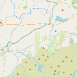
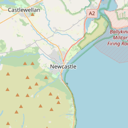

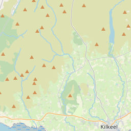
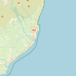


54.1082, -5.8997© OpenStreetMap
이 우편번호에 속한 장소
12| 장소 | 지역 | 카운티 | 좌표 |
|---|---|---|---|
| Annalong | Northern Ireland | County Down | 54.1082, -5.8997 |
| Ballymartin | Northern Ireland | County Down | 54.0811, -5.9482 |
| Cabra | Northern Ireland | County Down | 54.1462, -6.1206 |
| Hilltown | Northern Ireland | County Down | 54.2, -6.1333 |
| Kilcoo | Northern Ireland | County Down | 54.2167, -6.0333 |
| Kilkeel | Northern Ireland | County Down | 54.062, -6.0031 |
| Mayobridge | Northern Ireland | County Down | 54.1667, -6.2333 |
| Newry | Northern Ireland | — | 54.1784, -6.3374 |
| Poyntzpass | Northern Ireland | County Down | 54.1462, -6.1206 |
| Rathfriland | Northern Ireland | County Down | 54.25, -6.1667 |
| Rostrevor | Northern Ireland | County Down | 54.1, -6.2 |
| Warrenpoint | Northern Ireland | County Down | 54.1015, -6.2573 |
다른 국가의 동일 우편번호
0이 우편번호는 이 국가에서만 사용됩니다.
FAQ
BT34 우편번호는 어느 도시에 있나요?
Annalong, Northern Ireland, 영국.
BT34의 좌표는 무엇인가요?
54.1082, -5.8997
BT34 우편번호가 다른 국가에서도 사용되나요?
아니요.
우편번호 데이터는 공식 데이터가 아니며 누락과 절단이 있습니다. 중요한 발송에서는 수취인과 배송업체의 정보로 확인하세요. 데이터 출처 및 라이선스 보기 → · 2026-11-09 업데이트. 출처: