
France
27270 post code
Post code details
12 placesCode
Place
Broglie
Region
Normandie
County
Eure
Coordinates
49.0091, 0.5291
Accuracy
5 / 6
Country
France
Location
OpenStreetMap ↗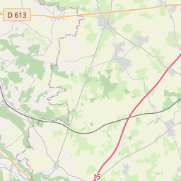
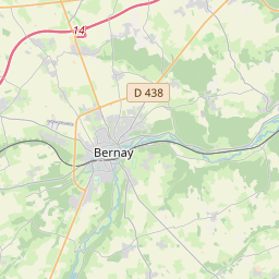
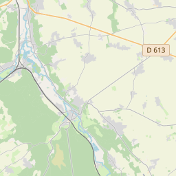
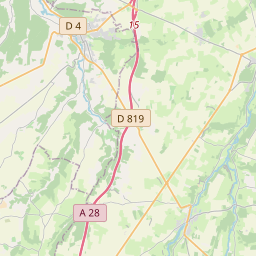
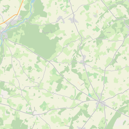
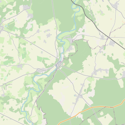
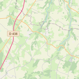
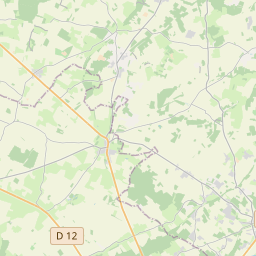
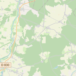
49.0091, 0.5291© OpenStreetMap
Places under this code
12| Place | Region | County | Coordinates |
|---|---|---|---|
| Broglie | Normandie | Eure | 49.0091, 0.5291 |
| Capelle-les-Grands | Normandie | Eure | 49.0445, 0.474 |
| Chamblac | Normandie | Eure | 48.9897, 0.5438 |
| Ferrières-Saint-Hilaire | Normandie | Eure | 49.033, 0.5682 |
| Grand-Camp | Normandie | Eure | 49.0454, 0.5284 |
| La Chapelle-Gauthier | Normandie | Eure | 48.9867, 0.4615 |
| La Roussière | Normandie | Eure | 48.9608, 0.5801 |
| La Trinité-de-Réville | Normandie | Eure | 48.9715, 0.5114 |
| Mesnil-en-Ouche | Normandie | Eure | 49.0122, 0.7061 |
| Saint-Aubin-du-Thenney | Normandie | Eure | 49.0201, 0.4903 |
| Saint-Jean-du-Thenney | Normandie | Eure | 49.0152, 0.4662 |
| Saint-Quentin-des-Isles | Normandie | Eure | 49.0486, 0.5802 |
Same code in other countries
5FAQ
Which city is 27270 in?
Broglie, Normandie, France.
What are the coordinates of 27270?
49.0091, 0.5291
Is 27270 used in other countries?
Yes, 5 other countries.
The data is unofficial and has known truncation; verify with the recipient and carrier for critical shipments. See data source & license → · Updated 2026-11-09. Attribution in