
France
40120 post code
Post code details
13 placesCode
Place
Arue
Region
Nouvelle-Aquitaine
County
Landes
Coordinates
44.0632, -0.3536
Accuracy
5 / 6
Country
France
Location
OpenStreetMap ↗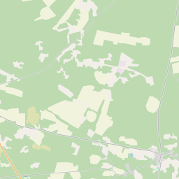
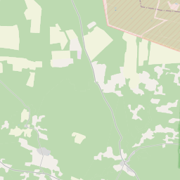
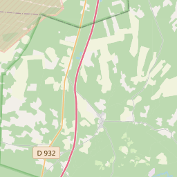
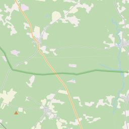
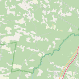
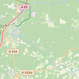
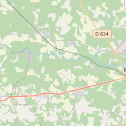
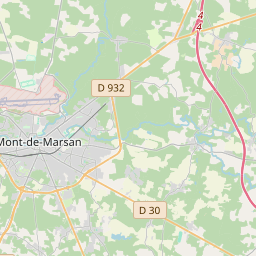
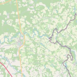
44.0632, -0.3536© OpenStreetMap
Places under this code
13| Place | Region | County | Coordinates |
|---|---|---|---|
| Arue | Nouvelle-Aquitaine | Landes | 44.0632, -0.3536 |
| Bourriot-Bergonce | Nouvelle-Aquitaine | Landes | 44.1274, -0.2508 |
| Bélis | Nouvelle-Aquitaine | Landes | 44.063, -0.4621 |
| Cachen | Nouvelle-Aquitaine | Landes | 44.0703, -0.4302 |
| Lacquy | Nouvelle-Aquitaine | Landes | 43.9521, -0.2738 |
| Lencouacq | Nouvelle-Aquitaine | Landes | 44.0991, -0.4051 |
| Maillas | Nouvelle-Aquitaine | Landes | 44.2476, -0.197 |
| Maillères | Nouvelle-Aquitaine | Landes | 44.0292, -0.4429 |
| Pouydesseaux | Nouvelle-Aquitaine | Landes | 43.9695, -0.3253 |
| Retjons | Nouvelle-Aquitaine | Landes | 44.101, -0.2947 |
| Roquefort | Nouvelle-Aquitaine | Landes | 44.0342, -0.322 |
| Saint-Gor | Nouvelle-Aquitaine | Landes | 44.0543, -0.2414 |
| Sarbazan | Nouvelle-Aquitaine | Landes | 44.0188, -0.3118 |
FAQ
Which city is 40120 in?
Arue, Nouvelle-Aquitaine, France.
What are the coordinates of 40120?
44.0632, -0.3536
Is 40120 used in other countries?
Yes, 7 other countries.
The data is unofficial and has known truncation; verify with the recipient and carrier for critical shipments. See data source & license → · Updated 2026-11-09. Attribution in