
Reino Unido
DL11 código postal
Detalles del código postal
40 lugaresCódigo
Lugar
Aldbrough St John
Región
England
Condado
North Yorkshire
Coordenadas
54.4435, -1.8576
Precisión
3 / 6
País
Reino Unido
Ubicación
OpenStreetMap ↗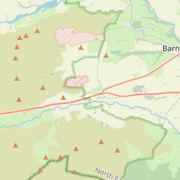
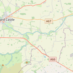
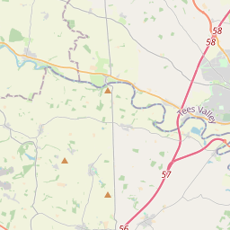
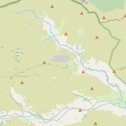
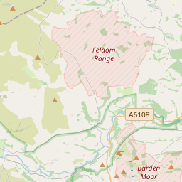
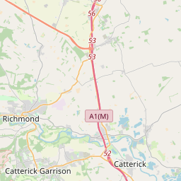
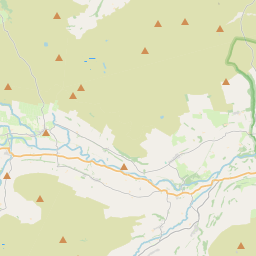
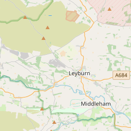
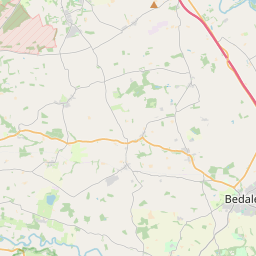
54.4435, -1.8576© OpenStreetMap
Lugares con este código
40| Lugar | Región | Condado | Coordenadas |
|---|---|---|---|
| Aldbrough St John | England | North Yorkshire | 54.4435, -1.8576 |
| Barningham | England | Durham | 54.4881, -1.8701 |
| Blades | England | North Yorkshire | 54.4435, -1.8576 |
| Caldwell | England | North Yorkshire | 54.5167, -1.75 |
| Crackpot | England | North Yorkshire | 54.4435, -1.8576 |
| Dalton | England | North Yorkshire | 54.4705, -1.826 |
| Downholme | England | North Yorkshire | 54.3766, -1.8265 |
| East Layton | England | North Yorkshire | 54.4838, -1.7485 |
| Eppleby | England | North Yorkshire | 54.5154, -1.7247 |
| Feetham | England | North Yorkshire | 54.3788, -2.0235 |
| Forcett | England | North Yorkshire | 54.5068, -1.73 |
| Fremington | England | North Yorkshire | 54.4435, -1.8576 |
| Gayles | England | North Yorkshire | 54.4614, -1.8103 |
| Grinton | England | North Yorkshire | 54.3803, -1.9336 |
| Gunnerside | England | North Yorkshire | 54.3787, -2.0792 |
| Healaugh | England | North Yorkshire | 54.4435, -1.8576 |
| Hudswell | England | North Yorkshire | 54.3965, -1.7774 |
| Hurst | England | North Yorkshire | 54.4435, -1.8576 |
| Hutton Magna | England | Durham | 54.5099, -1.8062 |
| Ivelet | England | North Yorkshire | 54.4435, -1.8576 |
| Kearton | England | North Yorkshire | 54.4435, -1.8576 |
| Keld | England | North Yorkshire | 54.4036, -2.1655 |
| Kirby Hill | England | North Yorkshire | 54.4533, -1.7854 |
| Langthwaite | England | North Yorkshire | 54.4176, -1.9932 |
| Low Row | England | North Yorkshire | 54.4435, -1.8576 |
| Marrick | England | North Yorkshire | 54.3796, -1.8847 |
| Marske | England | North Yorkshire | 54.4005, -1.8402 |
| Muker | England | North Yorkshire | 54.3765, -2.1435 |
| Newsham | England | North Yorkshire | 54.4853, -1.835 |
| Ovington | England | Durham | 54.5279, -1.7982 |
| Ravensworth | England | North Yorkshire | 54.4667, -1.7833 |
| Reeth | England | North Yorkshire | 54.3875, -1.9448 |
| Skelton | England | North Yorkshire | 54.4395, -1.8761 |
| Stainton | England | North Yorkshire | 54.3652, -1.8388 |
| Thwaite | England | North Yorkshire | 54.3775, -2.1643 |
| Washfold | England | North Yorkshire | 54.4435, -1.8576 |
| West Layton | England | North Yorkshire | 54.4845, -1.7807 |
| West Stonesdale | England | North Yorkshire | 54.4151, -2.1712 |
| Whashton | England | North Yorkshire | 54.4503, -1.7685 |
| Whaw | England | North Yorkshire | 54.4435, -1.8576 |
Mismo código en otros países
0Este código solo aparece en este país.
FAQ
¿En qué ciudad está DL11?
Aldbrough St John, England, Reino Unido.
¿Cuáles son las coordenadas de DL11?
54.4435, -1.8576
¿Se usa DL11 en otros países?
No.
Los datos no son oficiales y presentan truncamientos conocidos; verifica con el destinatario y el transportista en los envíos críticos. Ver la fuente y la licencia de los datos → · Actualizado el 2026-11-09. Atribución en