
Reino Unido
DL11 código postal
Detalhes do código postal
40 locaisCódigo
Local
Aldbrough St John
Região
England
Condado
North Yorkshire
Coordenadas
54.4435, -1.8576
Precisão
3 / 6
País
Reino Unido
Localização
OpenStreetMap ↗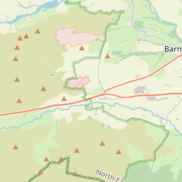
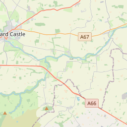
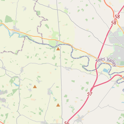
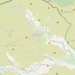
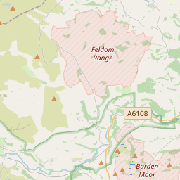
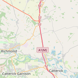
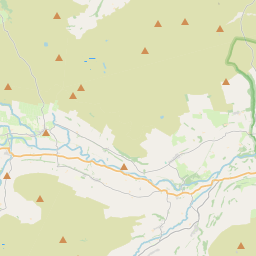
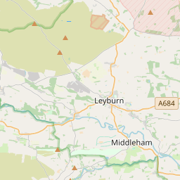
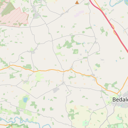
54.4435, -1.8576© OpenStreetMap
Locais com este código
40| Local | Região | Condado | Coordenadas |
|---|---|---|---|
| Aldbrough St John | England | North Yorkshire | 54.4435, -1.8576 |
| Barningham | England | Durham | 54.4881, -1.8701 |
| Blades | England | North Yorkshire | 54.4435, -1.8576 |
| Caldwell | England | North Yorkshire | 54.5167, -1.75 |
| Crackpot | England | North Yorkshire | 54.4435, -1.8576 |
| Dalton | England | North Yorkshire | 54.4705, -1.826 |
| Downholme | England | North Yorkshire | 54.3766, -1.8265 |
| East Layton | England | North Yorkshire | 54.4838, -1.7485 |
| Eppleby | England | North Yorkshire | 54.5154, -1.7247 |
| Feetham | England | North Yorkshire | 54.3788, -2.0235 |
| Forcett | England | North Yorkshire | 54.5068, -1.73 |
| Fremington | England | North Yorkshire | 54.4435, -1.8576 |
| Gayles | England | North Yorkshire | 54.4614, -1.8103 |
| Grinton | England | North Yorkshire | 54.3803, -1.9336 |
| Gunnerside | England | North Yorkshire | 54.3787, -2.0792 |
| Healaugh | England | North Yorkshire | 54.4435, -1.8576 |
| Hudswell | England | North Yorkshire | 54.3965, -1.7774 |
| Hurst | England | North Yorkshire | 54.4435, -1.8576 |
| Hutton Magna | England | Durham | 54.5099, -1.8062 |
| Ivelet | England | North Yorkshire | 54.4435, -1.8576 |
| Kearton | England | North Yorkshire | 54.4435, -1.8576 |
| Keld | England | North Yorkshire | 54.4036, -2.1655 |
| Kirby Hill | England | North Yorkshire | 54.4533, -1.7854 |
| Langthwaite | England | North Yorkshire | 54.4176, -1.9932 |
| Low Row | England | North Yorkshire | 54.4435, -1.8576 |
| Marrick | England | North Yorkshire | 54.3796, -1.8847 |
| Marske | England | North Yorkshire | 54.4005, -1.8402 |
| Muker | England | North Yorkshire | 54.3765, -2.1435 |
| Newsham | England | North Yorkshire | 54.4853, -1.835 |
| Ovington | England | Durham | 54.5279, -1.7982 |
| Ravensworth | England | North Yorkshire | 54.4667, -1.7833 |
| Reeth | England | North Yorkshire | 54.3875, -1.9448 |
| Skelton | England | North Yorkshire | 54.4395, -1.8761 |
| Stainton | England | North Yorkshire | 54.3652, -1.8388 |
| Thwaite | England | North Yorkshire | 54.3775, -2.1643 |
| Washfold | England | North Yorkshire | 54.4435, -1.8576 |
| West Layton | England | North Yorkshire | 54.4845, -1.7807 |
| West Stonesdale | England | North Yorkshire | 54.4151, -2.1712 |
| Whashton | England | North Yorkshire | 54.4503, -1.7685 |
| Whaw | England | North Yorkshire | 54.4435, -1.8576 |
O mesmo código noutros países
0Este código só aparece neste país.
FAQ
Em que cidade fica DL11?
Aldbrough St John, England, Reino Unido.
Quais são as coordenadas de DL11?
54.4435, -1.8576
O DL11 é usado noutros países?
Não.
Os dados não são oficiais e têm truncamentos conhecidos; confirme com o destinatário e a transportadora em envios críticos. Ver origem e licença dos dados → · Atualizado em 2026-11-09. Atribuição em