
Reino Unido
PE20 código postal
Detalles del código postal
21 lugaresCódigo
Lugar
Algarkirk
Región
England
Condado
Lincolnshire
Coordenadas
52.8992, -0.0813
Precisión
4 / 6
País
Reino Unido
Ubicación
OpenStreetMap ↗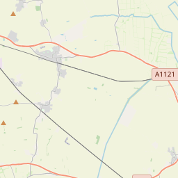


52.8992, -0.0813© OpenStreetMap
Lugares con este código
21| Lugar | Región | Condado | Coordenadas |
|---|---|---|---|
| Algarkirk | England | Lincolnshire | 52.8992, -0.0813 |
| Amber Hill | England | Lincolnshire | 53.0068, -0.1653 |
| Bicker | England | Lincolnshire | 52.9216, -0.1796 |
| Brothertoft | England | Lincolnshire | 52.9958, -0.1038 |
| Drayton | England | Lincolnshire | 52.9167, -0.15 |
| East Heckington | England | Lincolnshire | 53.0004, -0.1614 |
| Fenhouses | England | Lincolnshire | 53.0004, -0.1614 |
| Fosdyke | England | Lincolnshire | 52.8803, -0.0459 |
| Frampton | England | Lincolnshire | 52.9344, -0.03 |
| Frampton West End | England | Lincolnshire | 53.0004, -0.1614 |
| Hoffleet Stow | England | Lincolnshire | 53.0004, -0.1614 |
| Hubbert's Bridge | England | Lincolnshire | 53.0004, -0.1614 |
| Kirton | England | Lincolnshire | 52.9277, -0.0601 |
| Kirton End | England | Lincolnshire | 53.0004, -0.1614 |
| Kirton Holme | England | Lincolnshire | 53.0004, -0.1614 |
| Sandholme | England | Lincolnshire | 52.9315, -0.1041 |
| Skeldyke | England | Lincolnshire | 53.0004, -0.1614 |
| Sutterton | England | Lincolnshire | 52.9027, -0.0924 |
| Swineshead | England | Lincolnshire | 52.9454, -0.1595 |
| Swineshead Bridge | England | Lincolnshire | 53.0004, -0.1614 |
| Wigtoft | England | Lincolnshire | 52.9082, -0.1229 |
Mismo código en otros países
0Este código solo aparece en este país.
FAQ
¿En qué ciudad está PE20?
Algarkirk, England, Reino Unido.
¿Cuáles son las coordenadas de PE20?
52.8992, -0.0813
¿Se usa PE20 en otros países?
No.
Los datos no son oficiales y presentan truncamientos conocidos; verifica con el destinatario y el transportista en los envíos críticos. Ver la fuente y la licencia de los datos → · Actualizado el 2026-11-09. Atribución en