
Reino Unido
PE22 código postal
Detalles del código postal
41 lugaresCódigo
Lugar
Anton's Gowt
Región
England
Condado
Lincolnshire
Coordenadas
53.0613, 0.0142
Precisión
3 / 6
País
Reino Unido
Ubicación
OpenStreetMap ↗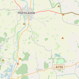
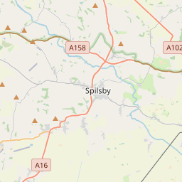
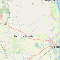
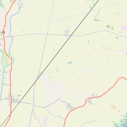
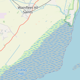
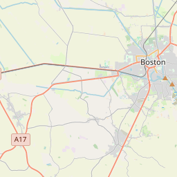
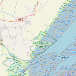

53.0613, 0.0142© OpenStreetMap
Lugares con este código
41| Lugar | Región | Condado | Coordenadas |
|---|---|---|---|
| Anton's Gowt | England | Lincolnshire | 53.0613, 0.0142 |
| Benington | England | Lincolnshire | 52.9833, 0.0833 |
| Benington Sea End | England | Lincolnshire | 53.0613, 0.0142 |
| Butterwick | England | Lincolnshire | 52.9833, 0.0667 |
| Carrington | England | Lincolnshire | 53.0833, -0.05 |
| Eastville | England | Lincolnshire | 53.0911, 0.0917 |
| Fishtoft Drove | England | Lincolnshire | 53.0613, 0.0142 |
| Freiston | England | Lincolnshire | 52.9743, 0.0493 |
| Freiston Shore | England | Lincolnshire | 53.0613, 0.0142 |
| Friskney | England | Lincolnshire | 53.0757, 0.1798 |
| Friskney Eaudike | England | Lincolnshire | 53.0613, 0.0142 |
| Frith Bank | England | Lincolnshire | 53.0051, -0.0463 |
| Frithville | England | Lincolnshire | 53.0374, -0.0387 |
| Gipsey Bridge | England | Lincolnshire | 53.0613, 0.0142 |
| Halltoft End | England | Lincolnshire | 53.0613, 0.0142 |
| Hill Dyke | England | Lincolnshire | 53.0613, 0.0142 |
| Lade Bank | England | Lincolnshire | 53.0613, 0.0142 |
| Langrick | England | Lincolnshire | 53.0222, -0.1064 |
| Langriville | England | Lincolnshire | 53.0177, -0.0984 |
| Leake Common Side | England | Lincolnshire | 53.0333, 0.0833 |
| Leake Hurn's End | England | Lincolnshire | 53.0613, 0.0142 |
| Leverton | England | Lincolnshire | 53, 0.0833 |
| Leverton Outgate | England | Lincolnshire | 53.0613, 0.0142 |
| Mareham le Fen | England | Lincolnshire | 53.1318, -0.0901 |
| Midville | England | Lincolnshire | 53.0919, 0.0652 |
| Moor Side | England | Lincolnshire | 53.0613, 0.0142 |
| Moorby | England | Lincolnshire | 53.1586, -0.0697 |
| New Bolingbroke | England | Lincolnshire | 53.103, -0.0481 |
| New Leake | England | Lincolnshire | 53.0957, 0.07 |
| Northlands | England | Lincolnshire | 53.0613, 0.0142 |
| Old Leake | England | Lincolnshire | 53.0311, 0.0987 |
| Revesby | England | Lincolnshire | 53.1343, -0.0593 |
| Scrane End | England | Lincolnshire | 53.0613, 0.0142 |
| Sibsey | England | Lincolnshire | 53.0386, 0.0158 |
| Stickford | England | Lincolnshire | 53.1204, 0.0184 |
| Stickney | England | Lincolnshire | 53.0895, 0.0055 |
| Tumby | England | Lincolnshire | 53.1211, -0.1505 |
| Tumby Woodside | England | Lincolnshire | 53.0613, 0.0142 |
| Wood Enderby | England | Lincolnshire | 53.1526, -0.0912 |
| Wrangle | England | Lincolnshire | 53.0393, 0.1299 |
| Wrangle Lowgate | England | Lincolnshire | 53.0613, 0.0142 |
Mismo código en otros países
0Este código solo aparece en este país.
FAQ
¿En qué ciudad está PE22?
Anton's Gowt, England, Reino Unido.
¿Cuáles son las coordenadas de PE22?
53.0613, 0.0142
¿Se usa PE22 en otros países?
No.
Los datos no son oficiales y presentan truncamientos conocidos; verifica con el destinatario y el transportista en los envíos críticos. Ver la fuente y la licencia de los datos → · Actualizado el 2026-11-09. Atribución en