
Regno Unito
PE22 codice postale
Dettagli del codice postale
41 luoghiCodice
Luogo
Anton's Gowt
Regione
England
Contea
Lincolnshire
Coordinate
53.0613, 0.0142
Precisione
3 / 6
Paese
Regno Unito
Posizione
OpenStreetMap ↗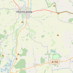
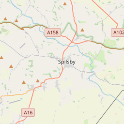
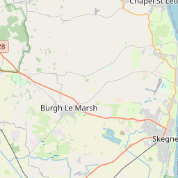
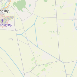
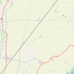
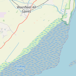
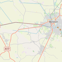
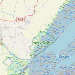

53.0613, 0.0142© OpenStreetMap
Luoghi con questo codice
41| Luogo | Regione | Contea | Coordinate |
|---|---|---|---|
| Anton's Gowt | England | Lincolnshire | 53.0613, 0.0142 |
| Benington | England | Lincolnshire | 52.9833, 0.0833 |
| Benington Sea End | England | Lincolnshire | 53.0613, 0.0142 |
| Butterwick | England | Lincolnshire | 52.9833, 0.0667 |
| Carrington | England | Lincolnshire | 53.0833, -0.05 |
| Eastville | England | Lincolnshire | 53.0911, 0.0917 |
| Fishtoft Drove | England | Lincolnshire | 53.0613, 0.0142 |
| Freiston | England | Lincolnshire | 52.9743, 0.0493 |
| Freiston Shore | England | Lincolnshire | 53.0613, 0.0142 |
| Friskney | England | Lincolnshire | 53.0757, 0.1798 |
| Friskney Eaudike | England | Lincolnshire | 53.0613, 0.0142 |
| Frith Bank | England | Lincolnshire | 53.0051, -0.0463 |
| Frithville | England | Lincolnshire | 53.0374, -0.0387 |
| Gipsey Bridge | England | Lincolnshire | 53.0613, 0.0142 |
| Halltoft End | England | Lincolnshire | 53.0613, 0.0142 |
| Hill Dyke | England | Lincolnshire | 53.0613, 0.0142 |
| Lade Bank | England | Lincolnshire | 53.0613, 0.0142 |
| Langrick | England | Lincolnshire | 53.0222, -0.1064 |
| Langriville | England | Lincolnshire | 53.0177, -0.0984 |
| Leake Common Side | England | Lincolnshire | 53.0333, 0.0833 |
| Leake Hurn's End | England | Lincolnshire | 53.0613, 0.0142 |
| Leverton | England | Lincolnshire | 53, 0.0833 |
| Leverton Outgate | England | Lincolnshire | 53.0613, 0.0142 |
| Mareham le Fen | England | Lincolnshire | 53.1318, -0.0901 |
| Midville | England | Lincolnshire | 53.0919, 0.0652 |
| Moor Side | England | Lincolnshire | 53.0613, 0.0142 |
| Moorby | England | Lincolnshire | 53.1586, -0.0697 |
| New Bolingbroke | England | Lincolnshire | 53.103, -0.0481 |
| New Leake | England | Lincolnshire | 53.0957, 0.07 |
| Northlands | England | Lincolnshire | 53.0613, 0.0142 |
| Old Leake | England | Lincolnshire | 53.0311, 0.0987 |
| Revesby | England | Lincolnshire | 53.1343, -0.0593 |
| Scrane End | England | Lincolnshire | 53.0613, 0.0142 |
| Sibsey | England | Lincolnshire | 53.0386, 0.0158 |
| Stickford | England | Lincolnshire | 53.1204, 0.0184 |
| Stickney | England | Lincolnshire | 53.0895, 0.0055 |
| Tumby | England | Lincolnshire | 53.1211, -0.1505 |
| Tumby Woodside | England | Lincolnshire | 53.0613, 0.0142 |
| Wood Enderby | England | Lincolnshire | 53.1526, -0.0912 |
| Wrangle | England | Lincolnshire | 53.0393, 0.1299 |
| Wrangle Lowgate | England | Lincolnshire | 53.0613, 0.0142 |
Stesso codice in altri Paesi
0Questo codice compare solo in questo Paese.
FAQ
In quale città si trova PE22?
Anton's Gowt, England, Regno Unito.
Quali sono le coordinate di PE22?
53.0613, 0.0142
PE22 è usato in altri Paesi?
No.
I dati non sono ufficiali e presentano troncamenti noti; per le spedizioni critiche verifica con il destinatario e con il corriere. Vedi fonte e licenza dei dati → · Aggiornato il 2026-11-09. Attribuzione in