
México
79960 código postal
Detalles del código postal
22 lugaresCódigo
Lugar
Benito Juárez
Región
San Luis Potosí
Condado
Tamazunchale
Coordenadas
21.2413, -98.7846
Precisión
3 / 6
País
México
Ubicación
OpenStreetMap ↗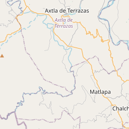
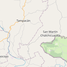
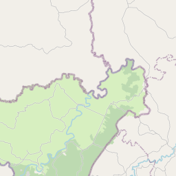
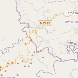
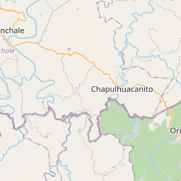
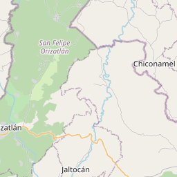
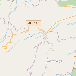
21.2413, -98.7846© OpenStreetMap
Lugares con este código
22| Lugar | Región | Condado | Coordenadas |
|---|---|---|---|
| Benito Juárez | San Luis Potosí | Tamazunchale | 21.2413, -98.7846 |
| Buenos Aires | San Luis Potosí | Tamazunchale | 21.2161, -98.8833 |
| Del Carmen | San Luis Potosí | Tamazunchale | 21.2399, -98.8189 |
| El Sol | San Luis Potosí | Tamazunchale | 21.2399, -98.8189 |
| Emiliano Zapata Sección I | San Luis Potosí | Tamazunchale | 21.2399, -98.8189 |
| Estrella | San Luis Potosí | Tamazunchale | 21.2399, -98.8189 |
| INFONAVIT | San Luis Potosí | Tamazunchale | 21.2413, -98.7846 |
| Jardines del Valle | San Luis Potosí | Tamazunchale | 21.2413, -98.7846 |
| La Cañada | San Luis Potosí | Tamazunchale | 21.2413, -98.7846 |
| Lindavista | San Luis Potosí | Tamazunchale | 21.2413, -98.7846 |
| Los Naranjos | San Luis Potosí | Tamazunchale | 21.2413, -98.7846 |
| Los Tamarindos | San Luis Potosí | Tamazunchale | 21.2414, -98.7744 |
| Mirador | San Luis Potosí | Tamazunchale | 21.2217, -98.8856 |
| San José | San Luis Potosí | Tamazunchale | 21.2491, -98.7809 |
| San Juan Zona Centro | San Luis Potosí | Tamazunchale | 21.2399, -98.8189 |
| San Miguel | San Luis Potosí | Tamazunchale | 21.2433, -98.8003 |
| San Rafael | San Luis Potosí | Tamazunchale | 21.2681, -98.7892 |
| Tamazunchale Centro | San Luis Potosí | Tamazunchale | 21.2399, -98.8189 |
| Tencazapa y Netzahualcoyotl | San Luis Potosí | Tamazunchale | 21.2399, -98.8189 |
| Valle Alto | San Luis Potosí | Tamazunchale | 21.2399, -98.8189 |
| Xew | San Luis Potosí | Tamazunchale | 21.2399, -98.8189 |
| Zacatipan | San Luis Potosí | Tamazunchale | 21.2399, -98.8189 |
Mismo código en otros países
1| País | Lugar | Región |
|---|---|---|
| US Estados Unidos | El Paso | Texas |
FAQ
¿En qué ciudad está 79960?
Benito Juárez, San Luis Potosí, México.
¿Cuáles son las coordenadas de 79960?
21.2413, -98.7846
¿Se usa 79960 en otros países?
Sí, en 1 países más.
Los datos no son oficiales y presentan truncamientos conocidos; verifica con el destinatario y el transportista en los envíos críticos. Ver la fuente y la licencia de los datos → · Actualizado el 2026-11-09. Atribución en