
Messico
79960 codice postale
Dettagli del codice postale
22 luoghiCodice
Luogo
Benito Juárez
Regione
San Luis Potosí
Contea
Tamazunchale
Coordinate
21.2413, -98.7846
Precisione
3 / 6
Paese
Messico
Posizione
OpenStreetMap ↗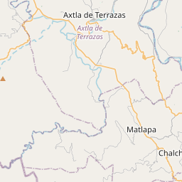
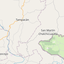
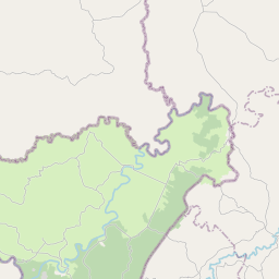
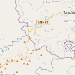
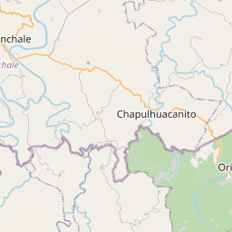
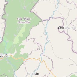
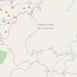
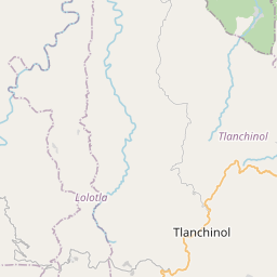
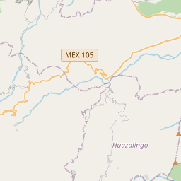
21.2413, -98.7846© OpenStreetMap
Luoghi con questo codice
22| Luogo | Regione | Contea | Coordinate |
|---|---|---|---|
| Benito Juárez | San Luis Potosí | Tamazunchale | 21.2413, -98.7846 |
| Buenos Aires | San Luis Potosí | Tamazunchale | 21.2161, -98.8833 |
| Del Carmen | San Luis Potosí | Tamazunchale | 21.2399, -98.8189 |
| El Sol | San Luis Potosí | Tamazunchale | 21.2399, -98.8189 |
| Emiliano Zapata Sección I | San Luis Potosí | Tamazunchale | 21.2399, -98.8189 |
| Estrella | San Luis Potosí | Tamazunchale | 21.2399, -98.8189 |
| INFONAVIT | San Luis Potosí | Tamazunchale | 21.2413, -98.7846 |
| Jardines del Valle | San Luis Potosí | Tamazunchale | 21.2413, -98.7846 |
| La Cañada | San Luis Potosí | Tamazunchale | 21.2413, -98.7846 |
| Lindavista | San Luis Potosí | Tamazunchale | 21.2413, -98.7846 |
| Los Naranjos | San Luis Potosí | Tamazunchale | 21.2413, -98.7846 |
| Los Tamarindos | San Luis Potosí | Tamazunchale | 21.2414, -98.7744 |
| Mirador | San Luis Potosí | Tamazunchale | 21.2217, -98.8856 |
| San José | San Luis Potosí | Tamazunchale | 21.2491, -98.7809 |
| San Juan Zona Centro | San Luis Potosí | Tamazunchale | 21.2399, -98.8189 |
| San Miguel | San Luis Potosí | Tamazunchale | 21.2433, -98.8003 |
| San Rafael | San Luis Potosí | Tamazunchale | 21.2681, -98.7892 |
| Tamazunchale Centro | San Luis Potosí | Tamazunchale | 21.2399, -98.8189 |
| Tencazapa y Netzahualcoyotl | San Luis Potosí | Tamazunchale | 21.2399, -98.8189 |
| Valle Alto | San Luis Potosí | Tamazunchale | 21.2399, -98.8189 |
| Xew | San Luis Potosí | Tamazunchale | 21.2399, -98.8189 |
| Zacatipan | San Luis Potosí | Tamazunchale | 21.2399, -98.8189 |
Stesso codice in altri Paesi
1| Paese | Luogo | Regione |
|---|---|---|
| US Stati Uniti | El Paso | Texas |
FAQ
In quale città si trova 79960?
Benito Juárez, San Luis Potosí, Messico.
Quali sono le coordinate di 79960?
21.2413, -98.7846
79960 è usato in altri Paesi?
Sì, in altri 1 Paesi.
I dati non sono ufficiali e presentano troncamenti noti; per le spedizioni critiche verifica con il destinatario e con il corriere. Vedi fonte e licenza dei dati → · Aggiornato il 2026-11-09. Attribuzione in