
Royaume-Uni
BT54 code postal
Détails du code
11 lieuxCode
Lieu
Ballintoy
Région
Northern Ireland
Comté
County Antrim
Coordonnées
55.2365, -6.3607
Précision
4 / 6
Pays
Royaume-Uni
Localisation
OpenStreetMap ↗

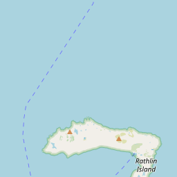
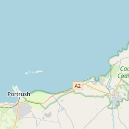
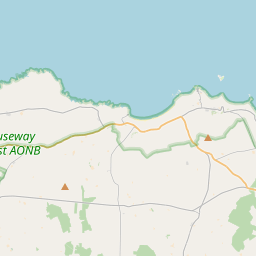
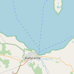
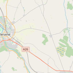
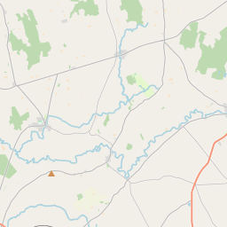
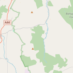
55.2365, -6.3607© OpenStreetMap
Lieux sous ce code
11| Lieu | Région | Comté | Coordonnées |
|---|---|---|---|
| Ballintoy | Northern Ireland | County Antrim | 55.2365, -6.3607 |
| Ballycastle | Northern Ireland | — | 55.2044, -6.243 |
| Ballypatrick | Northern Ireland | County Antrim | 55.1902, -6.2478 |
| Ballyvoy | Northern Ireland | County Antrim | 55.2, -6.1833 |
| Cape Castle | Northern Ireland | County Antrim | 55.15, -6.3 |
| Glenshesk | Northern Ireland | County Antrim | 55.1902, -6.2478 |
| Maghercashel | Northern Ireland | County Antrim | 55.1902, -6.2478 |
| Maghernahar | Northern Ireland | County Antrim | 55.1902, -6.2478 |
| Moyarget | Northern Ireland | County Antrim | 55.1667, -6.3333 |
| Rathlin Island | Northern Ireland | County Antrim | 55.1902, -6.2478 |
| Torr | Northern Ireland | County Antrim | 55.1833, -6.0667 |
Même code dans d'autres pays
0Ce code n'existe que dans ce pays.
FAQ
Dans quelle ville se trouve BT54 ?
Ballintoy, Northern Ireland, Royaume-Uni.
Quelles sont les coordonnées de BT54 ?
55.2365, -6.3607
BT54 est-il utilisé dans d'autres pays ?
Non.
Les données sont non officielles et tronquées ; pour les envois critiques, vérifiez avec le destinataire et le transporteur. Voir la source et la licence → · Mis à jour le 2026-11-09. Attribution dans