
Reino Unido
BT54 código postal
Detalhes do código postal
11 locaisCódigo
Local
Ballintoy
Região
Northern Ireland
Condado
County Antrim
Coordenadas
55.2365, -6.3607
Precisão
4 / 6
País
Reino Unido
Localização
OpenStreetMap ↗

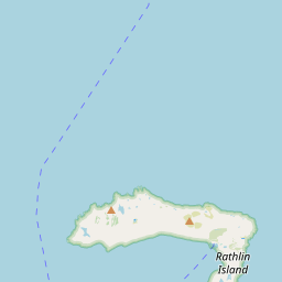
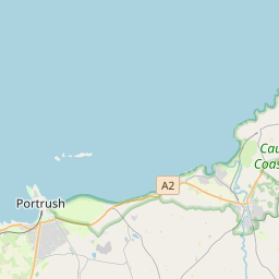
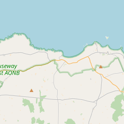
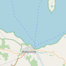
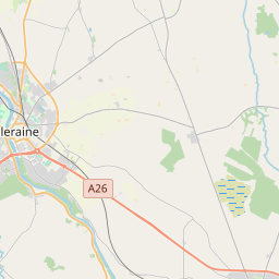
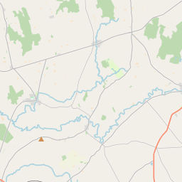
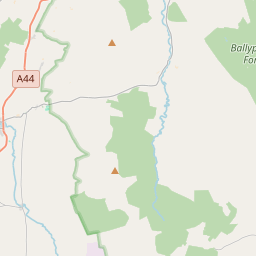
55.2365, -6.3607© OpenStreetMap
Locais com este código
11| Local | Região | Condado | Coordenadas |
|---|---|---|---|
| Ballintoy | Northern Ireland | County Antrim | 55.2365, -6.3607 |
| Ballycastle | Northern Ireland | — | 55.2044, -6.243 |
| Ballypatrick | Northern Ireland | County Antrim | 55.1902, -6.2478 |
| Ballyvoy | Northern Ireland | County Antrim | 55.2, -6.1833 |
| Cape Castle | Northern Ireland | County Antrim | 55.15, -6.3 |
| Glenshesk | Northern Ireland | County Antrim | 55.1902, -6.2478 |
| Maghercashel | Northern Ireland | County Antrim | 55.1902, -6.2478 |
| Maghernahar | Northern Ireland | County Antrim | 55.1902, -6.2478 |
| Moyarget | Northern Ireland | County Antrim | 55.1667, -6.3333 |
| Rathlin Island | Northern Ireland | County Antrim | 55.1902, -6.2478 |
| Torr | Northern Ireland | County Antrim | 55.1833, -6.0667 |
O mesmo código noutros países
0Este código só aparece neste país.
FAQ
Em que cidade fica BT54?
Ballintoy, Northern Ireland, Reino Unido.
Quais são as coordenadas de BT54?
55.2365, -6.3607
O BT54 é usado noutros países?
Não.
Os dados não são oficiais e têm truncamentos conhecidos; confirme com o destinatário e a transportadora em envios críticos. Ver origem e licença dos dados → · Atualizado em 2026-11-09. Atribuição em