
United Kingdom
DE56 post code
Post code details
20 placesCode
Place
Alderwasley
Region
England
County
Derbyshire
Coordinates
53.0785, -1.5288
Accuracy
4 / 6
Country
United Kingdom
Location
OpenStreetMap ↗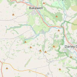
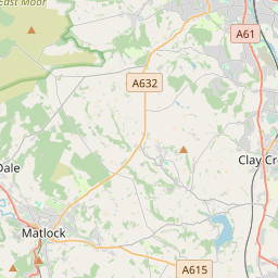

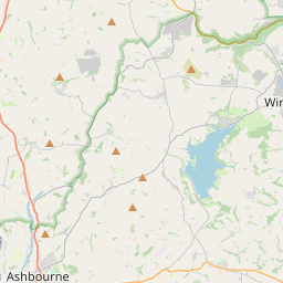
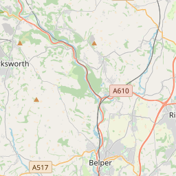

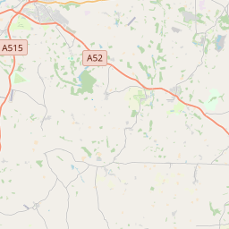


53.0785, -1.5288© OpenStreetMap
Places under this code
20| Place | Region | County | Coordinates |
|---|---|---|---|
| Alderwasley | England | Derbyshire | 53.0785, -1.5288 |
| Ambergate | England | Derbyshire | 53.0031, -1.5515 |
| Belper | England | Derbyshire | 53.0233, -1.4812 |
| Belper Lane End | England | Derbyshire | 53.0031, -1.5515 |
| Cross o' the Hands | England | Derbyshire | 53.0031, -1.5515 |
| Duffield | England | Derbyshire | 52.9863, -1.4886 |
| Fritchley | England | Derbyshire | 53.0031, -1.5515 |
| Hazelwood | England | Derbyshire | 53.0105, -1.5111 |
| Heage | England | Derbyshire | 53.0505, -1.4469 |
| Holbrook | England | Derbyshire | 53.0013, -1.4584 |
| Idridgehay | England | Derbyshire | 53.0344, -1.5709 |
| Kilburn | England | Derbyshire | 53.0058, -1.4387 |
| Milford | England | Derbyshire | 53.0217, -1.4754 |
| Mount Pleasant | England | Derbyshire | 53.0031, -1.5515 |
| Shottle | England | Derbyshire | 53.0441, -1.5368 |
| Shottlegate | England | Derbyshire | 53.0031, -1.5515 |
| Turnditch | England | Derbyshire | 53.0154, -1.5615 |
| White Moor | England | Derbyshire | 53.0031, -1.5515 |
| Windley | England | Derbyshire | 53.0039, -1.5455 |
| Windley Meadows | England | Derbyshire | 53.0031, -1.5515 |
Same code in other countries
0This code only appears in this country.
FAQ
Which city is DE56 in?
Alderwasley, England, United Kingdom.
What are the coordinates of DE56?
53.0785, -1.5288
Is DE56 used in other countries?
No.
The data is unofficial and has known truncation; verify with the recipient and carrier for critical shipments. See data source & license → · Updated 2026-11-09. Attribution in