
United Kingdom
ME9 post code
Post code details
24 placesCode
Place
Bapchild
Region
England
County
Kent
Coordinates
51.3335, 0.7685
Accuracy
4 / 6
Country
United Kingdom
Location
OpenStreetMap ↗


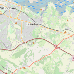
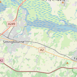


51.3335, 0.7685© OpenStreetMap
Places under this code
24| Place | Region | County | Coordinates |
|---|---|---|---|
| Bapchild | England | Kent | 51.3335, 0.7685 |
| Bicknor | England | Kent | 51.2951, 0.6687 |
| Bobbing | England | Kent | 51.3555, 0.7122 |
| Borden | England | Kent | 51.3343, 0.7004 |
| Bredgar | England | Kent | 51.3122, 0.6968 |
| Conyer | England | Kent | 51.3248, 0.7196 |
| Doddington | England | Kent | 51.2814, 0.7723 |
| Frinsted | England | Kent | 51.2798, 0.7187 |
| Hartlip | England | Kent | 51.3463, 0.6391 |
| Highsted | England | Kent | 51.3248, 0.7196 |
| Iwade | England | Kent | 51.3775, 0.7293 |
| Lower Halstow | England | Kent | 51.374, 0.6682 |
| Lynsted | England | Kent | 51.3122, 0.7864 |
| Milstead | England | Kent | 51.2964, 0.7327 |
| Newington | England | Kent | 51.3522, 0.6677 |
| Newnham | England | Kent | 51.2845, 0.8012 |
| Oad Street | England | Kent | 51.3248, 0.7196 |
| Rodmersham | England | Kent | 51.3175, 0.7488 |
| Stockbury | England | Kent | 51.3254, 0.6402 |
| Teynham | England | Kent | 51.3305, 0.8053 |
| Tunstall | England | Kent | 51.3259, 0.7213 |
| Upchurch | England | Kent | 51.3762, 0.6479 |
| Wichling | England | Kent | 51.2667, 0.75 |
| Wormshill | England | Kent | 51.2854, 0.6972 |
Same code in other countries
0This code only appears in this country.
FAQ
Which city is ME9 in?
Bapchild, England, United Kingdom.
What are the coordinates of ME9?
51.3335, 0.7685
Is ME9 used in other countries?
No.
The data is unofficial and has known truncation; verify with the recipient and carrier for critical shipments. See data source & license → · Updated 2026-11-09. Attribution in